Vite geodata
Vite (Maharashtra) is a populated place; located in India in Asia/Kolkata (GMT+5.5) time zone. With population of 45,973 people, there are 961 cities with bigger population in this country. Compared to other cities in India, 74% of cities are located further ↑North; 86.6% of cities are located further →East and 92.2% of cities have lower elevation than Vite. Note1


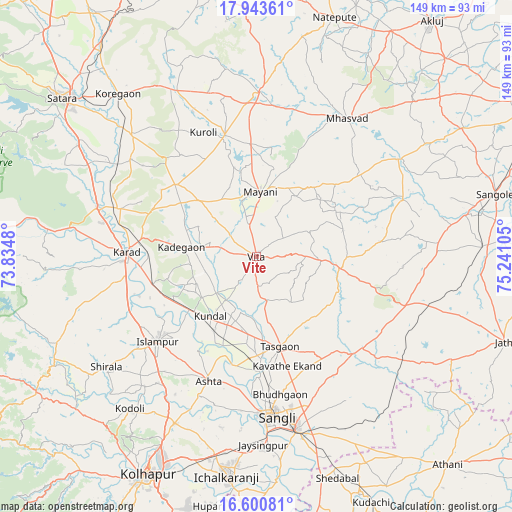
Vite GPS coordinates[2]
17° 16' 24.348" North, 74° 32' 16.512" East
| Map corner | latitude | longitude |
|---|---|---|
| Upper-left | 17.94361°, | 73.8348° |
| Center: | 17.27343°, | 74.53792° |
| Lower-right: | 16.60081°, | 75.24105° |
| Map W x H: | 149.3×149.3 km | = 92.8×92.8mi |
| max Lat: | 34.9274° ⇑74% North |
| Vite: | 17.27343° |
| min Lat: | ⇓26% South 8.09008° |
| min Long | Vite | max Long |
| 68.82655° | 74.53792° | 96.81° |
| W 13.4%⇐ | ⇒86.6% E |
Elevation
Elevation of Vite is 689 m = 2260 ft, and this is 393.4 m = 1291 ft above average elevation for this country.
| Max E: |
3681 m = 12077 ft | 7.8% |
| Vite | 689 m 2260 ft | |
| Avg. | 295.6 m = 970 ft | |
Min E: |
1 m = 3 ft | 92.2% |
See also: Vite elevation on elevation.city.
Geographical zone
Vite is located in North Torrid zone (between Equator and Tropic of Cancer). Distance of this Northern Tropic circle is 685.3 km =425.8 mi to North.| Distance of | km | miles | from Vite |
|---|---|---|---|
| North Pole | 8086.4 | 5024.7 | to North |
| Arctic Circle | 5480.5 | 3405.4 | to North |
| Tropic Cancer | 685.3 | 425.8 | to North |
| Equator | 1920.6 | 1193.4 | to South |


Nearby cities:
15 places around Vite: (largest is in red/bold)
• Ashta
38.5 km =23.9 mi,  200°
200°
• Bhudgaon
41.2 km =25.6 mi,  170°
170°
• Ichalkaranji
65.3 km =40.6 mi,  187°
187°
• Jaisingpur
55.3 km =34.4 mi,  178°
178°
• Karād
37.8 km =23.5 mi,  272°
272°
• Kodoli
57.5 km =35.7 mi,  219°
219°
• Kurandvād
65.9 km =40.9 mi, 175°
• Malkapur
38.5 km =23.9 mi, 268°
• Mhāsvād
48 km =29.8 mi,  33°
33°
• Panhāla
68.6 km =42.6 mi, 221°
• Pātan
68.5 km =42.6 mi,  279°
279°
• Rahimatpur
50.4 km =31.3 mi,  314°
314°
• Sāngli
46.7 km =29 mi, 176°
• Sāngola
72 km =44.7 mi,  75°
75°
• Tāsgaon
27.1 km =16.8 mi, 165°
Sources, notices
• [Note1] Compared only with cities in India existing in our database
• [Src1] Map data: © OpenStreetMap contributors (CC-BY-SA)
• [Src2] Other city data from geonames.org with taken over terms of usage.
• [Src3] Geographical zone / Annual Mean Temperature by Robert A. Rohde @ Wikipedia
