Tālīkota geodata
Tālīkota (Karnataka) is a populated place; located in India in Asia/Kolkata (GMT+5.5) time zone. With population of 27,902 people, there are 1543 cities with bigger population in this country. Compared to other cities in India, 76.7% of cities are located further ↑North; 70.5% of cities are located further →East and 83.3% of cities have lower elevation than Tālīkota. Note1


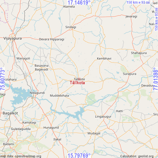
Tālīkota GPS coordinates[2]
16° 28' 23.196" North, 76° 18' 39.06" East
| Map corner | latitude | longitude |
|---|---|---|
| Upper-left | 17.14619°, | 75.60773° |
| Center: | 16.47311°, | 76.31085° |
| Lower-right: | 15.79769°, | 77.01398° |
| Map W x H: | 149.9×149.9 km | = 93.1×93.1mi |
| max Lat: | 34.9274° ⇑76.7% North |
| Tālīkota: | 16.47311° |
| min Lat: | ⇓23.3% South 8.09008° |
| min Long | Tālīkota | max Long |
| 68.82655° | 76.31085° | 96.81° |
| W 29.5%⇐ | ⇒70.5% E |
Elevation
Elevation of Tālīkota is 513 m = 1683 ft, and this is 217.4 m = 713 ft above average elevation for this country.
| Max E: |
3681 m = 12077 ft | 16.7% |
| Tālīkota | 513 m 1683 ft | |
| Avg. | 295.6 m = 970 ft | |
Min E: |
1 m = 3 ft | 83.3% |
See also: India elevation on elevation.city.
Geographical zone
Tālīkota is located in North Torrid zone (between Equator and Tropic of Cancer). Distance of this Northern Tropic circle is 774.3 km =481.1 mi to North.| Distance of | km | miles | from Tālīkota |
|---|---|---|---|
| North Pole | 8175.4 | 5080 | to North |
| Arctic Circle | 5569.5 | 3460.7 | to North |
| Tropic Cancer | 774.3 | 481.1 | to North |
| Equator | 1831.6 | 1138.1 | to South |


Nearby cities:
15 places around Tālīkota: (largest is in red/bold)
• Bagalkot
72.9 km =45.3 mi,  244°
244°
• Basavana Bāgevādi
37.7 km =23.4 mi,  287°
287°
• Bijapur
74.5 km =46.3 mi,  301°
301°
• Bilgi
75.2 km =46.7 mi,  259°
259°
• Guledagudda
72.8 km =45.2 mi,  229°
229°
• Hungund
53 km =32.9 mi,  210°
210°
• Ilkal
60.9 km =37.8 mi,  200°
200°
• Jevargi
77.7 km =48.3 mi,  39°
39°
• Kushtagi
80.7 km =50.1 mi,  189°
189°
• Lingsugūr
41.6 km =25.8 mi,  147°
147°
• Muddebihāl
24.3 km =15.1 mi, 231°
• Mudgal
53.2 km =33.1 mi,  164°
164°
• Shorāpur
47.9 km =29.8 mi,  83°
83°
• Shāhpur
61.8 km =38.4 mi,  66°
66°
• Sindgi
50.2 km =31.2 mi,  350°
350°
Sources, notices
• [Note1] Compared only with cities in India existing in our database
• [Src1] Map data: © OpenStreetMap contributors (CC-BY-SA)
• [Src2] Other city data from geonames.org with taken over terms of usage.
• [Src3] Geographical zone / Annual Mean Temperature by Robert A. Rohde @ Wikipedia
