Mudgal geodata
Mudgal (Karnataka) is a populated place; located in India in Asia/Kolkata (GMT+5.5) time zone. With population of 21,006 people, there are 1968 cities with bigger population in this country. Compared to other cities in India, 78% of cities are located further ↑North; 68.9% of cities are located further →East and 85.2% of cities have lower elevation than Mudgal. Note1


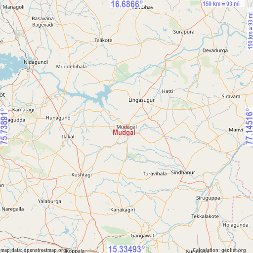
Mudgal GPS coordinates[2]
16° 0' 42.876" North, 76° 26' 31.308" East
| Map corner | latitude | longitude |
|---|---|---|
| Upper-left | 16.6866°, | 75.73891° |
| Center: | 16.01191°, | 76.44203° |
| Lower-right: | 15.33493°, | 77.14516° |
| Map W x H: | 150.3×150.3 km | = 93.4×93.4mi |
| max Lat: | 34.9274° ⇑78% North |
| Mudgal: | 16.01191° |
| min Lat: | ⇓22% South 8.09008° |
| min Long | Mudgal | max Long |
| 68.82655° | 76.44203° | 96.81° |
| W 31.1%⇐ | ⇒68.9% E |
Elevation
Elevation of Mudgal is 552 m = 1811 ft, and this is 256.4 m = 841 ft above average elevation for this country.
| Max E: |
3681 m = 12077 ft | 14.8% |
| Mudgal | 552 m 1811 ft | |
| Avg. | 295.6 m = 970 ft | |
Min E: |
1 m = 3 ft | 85.2% |
See also: India elevation on elevation.city.
Geographical zone
Mudgal is located in North Torrid zone (between Equator and Tropic of Cancer). Distance of this Northern Tropic circle is 825.6 km =513 mi to North.| Distance of | km | miles | from Mudgal |
|---|---|---|---|
| North Pole | 8226.7 | 5111.8 | to North |
| Arctic Circle | 5620.8 | 3492.6 | to North |
| Tropic Cancer | 825.6 | 513 | to North |
| Equator | 1780.4 | 1106.3 | to South |


Nearby cities:
15 places around Mudgal: (largest is in red/bold)
• Gajendragarh
59.1 km =36.7 mi,  238°
238°
• Gangāwati
65.2 km =40.5 mi,  171°
171°
• Guledagudda
69.8 km =43.4 mi,  273°
273°
• Hungund
41.4 km =25.7 mi,  277°
277°
• Ilkal
35.6 km =22.1 mi,  260°
260°
• Kampli
69.4 km =43.1 mi, 165°
• Kushtagi
39.1 km =24.3 mi,  223°
223°
• Lingsugūr
18.4 km =11.4 mi,  27°
27°
• Muddebihāl
49.1 km =30.5 mi,  317°
317°
• Mānvi
65.1 km =40.5 mi,  92°
92°
• Shorāpur
65.9 km =40.9 mi, 30°
• Sindhnūr
43 km =26.7 mi,  128°
128°
• Siruguppa
64.2 km =39.9 mi, 131°
• Tālīkota
53.2 km =33.1 mi,  344°
344°
• Yelbarga
63.7 km =39.6 mi,  226°
226°
Sources, notices
• [Note1] Compared only with cities in India existing in our database
• [Src1] Map data: © OpenStreetMap contributors (CC-BY-SA)
• [Src2] Other city data from geonames.org with taken over terms of usage.
• [Src3] Geographical zone / Annual Mean Temperature by Robert A. Rohde @ Wikipedia
