Tālcher geodata
Tālcher (Odisha) is a populated place; located in India in Asia/Kolkata (GMT+5.5) time zone. With population of 38,436 people, there are 1143 cities with bigger population in this country. Compared to other cities in India, 61.8% of cities are located further ↑North; 84.9% of cities are located further ←West and 72.9% of cities have higher elevation than Tālcher. Note1


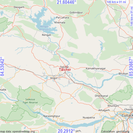
Tālcher GPS coordinates[2]
20° 56' 57.372" North, 85° 14' 0.744" East
| Map corner | latitude | longitude |
|---|---|---|
| Upper-left | 21.60446°, | 84.53042° |
| Center: | 20.94927°, | 85.23354° |
| Lower-right: | 20.2912°, | 85.93667° |
| Map W x H: | 146×146 km | = 90.7×90.7mi |
| max Lat: | 34.9274° ⇑61.8% North |
| Tālcher: | 20.94927° |
| min Lat: | ⇓38.2% South 8.09008° |
| min Long | Tālcher | max Long |
| 68.82655° | 85.23354° | 96.81° |
| W 84.9%⇐ | ⇒15.1% E |
Elevation
Elevation of Tālcher is 80 m = 262 ft, and this is 215.6 m = 707 ft below average elevation for this country.
| Max E: |
3681 m = 12077 ft | 72.9% |
| Avg. | 295.6 m = 970 ft | |
| Tālcher | 80 m = 262 ft | |
Min E: |
1 m = 3 ft | 27.1% |
See also: India elevation on elevation.city.
Geographical zone
Tālcher is located in North Torrid zone (between Equator and Tropic of Cancer). Distance of this Northern Tropic circle is 276.6 km =171.9 mi to North.| Distance of | km | miles | from Tālcher |
|---|---|---|---|
| North Pole | 7677.7 | 4770.7 | to North |
| Arctic Circle | 5071.8 | 3151.5 | to North |
| Tropic Cancer | 276.6 | 171.9 | to North |
| Equator | 2329.3 | 1447.4 | to South |


Nearby cities:
15 places around Tālcher: (largest is in red/bold)
• Angul
18.2 km =11.3 mi,  228°
228°
• Baud
95.1 km =59.1 mi,  262°
262°
• Bhuban
62.7 km =39 mi,  96°
96°
• Bālugaon
86.6 km =53.8 mi,  188°
188°
• Bānki
70.5 km =43.8 mi,  154°
154°
• Cuttack
86.1 km =53.5 mi,  128°
128°
• Daitari
56.2 km =34.9 mi,  72°
72°
• Deogarh
83.5 km =51.9 mi,  321°
321°
• Dhenkānāl
49.8 km =30.9 mi, 130°
• Kaintragarh
76.9 km =47.8 mi,  250°
250°
• Kantilo
65.5 km =40.7 mi,  183°
183°
• Khurda
94.1 km =58.5 mi, 154°
• Kāmākhyānagar
32.4 km =20.1 mi,  93°
93°
• Nayāgarh
92.3 km =57.4 mi, 188°
• Āthagarh
63 km =39.1 mi,  139°
139°
Sources, notices
• [Note1] Compared only with cities in India existing in our database
• [Src1] Map data: © OpenStreetMap contributors (CC-BY-SA)
• [Src2] Other city data from geonames.org with taken over terms of usage.
• [Src3] Geographical zone / Annual Mean Temperature by Robert A. Rohde @ Wikipedia
