Sālūmbar geodata
Sālūmbar (Rajasthan) is a populated place; located in India in Asia/Kolkata (GMT+5.5) time zone. With population of 16,557 people, there are 2326 cities with bigger population in this country. Compared to other cities in India, 58.7% of cities are located further ↓South; 89.1% of cities are located further →East and 58.5% of cities have lower elevation than Sālūmbar. Note1


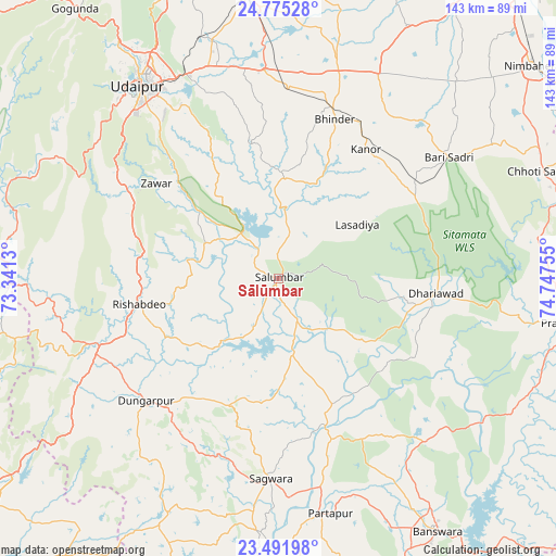
Sālūmbar GPS coordinates[2]
24° 8' 6.864" North, 74° 2' 39.912" East
| Map corner | latitude | longitude |
|---|---|---|
| Upper-left | 24.77528°, | 73.3413° |
| Center: | 24.13524°, | 74.04442° |
| Lower-right: | 23.49198°, | 74.74755° |
| Map W x H: | 142.7×142.7 km | = 88.7×88.7mi |
| max Lat: | 34.9274° ⇑41.3% North |
| Sālūmbar: | 24.13524° |
| min Lat: | ⇓58.7% South 8.09008° |
| min Long | Sālūmbar | max Long |
| 68.82655° | 74.04442° | 96.81° |
| W 10.9%⇐ | ⇒89.1% E |
Elevation
Elevation of Sālūmbar is 242 m = 794 ft, and this is 53.6 m = 176 ft below average elevation for this country.
| Max E: |
3681 m = 12077 ft | 41.5% |
| Avg. | 295.6 m = 970 ft | |
| Sālūmbar | 242 m = 794 ft | |
Min E: |
1 m = 3 ft | 58.5% |
See also: India elevation on elevation.city.
Geographical zone
Sālūmbar is located in North temperate zone (between Tropic of Cancer and the Arctic Circle). Distance of this Northern Tropic circle is 77.7 km =48.3 mi to South.| Distance of | km | miles | from Sālūmbar |
|---|---|---|---|
| North Pole | 7323.5 | 4550.6 | to North |
| Arctic Circle | 4717.6 | 2931.4 | to North |
| Tropic Cancer | 77.7 | 48.3 | to South |
| Equator | 2683.6 | 1667.5 | to South |


Nearby cities:
15 places around Sālūmbar: (largest is in red/bold)
• Bari Sādri
53.4 km =33.2 mi,  54°
54°
• Bhindār
43.2 km =26.8 mi,  19°
19°
• Bānswāra
77.5 km =48.2 mi,  148°
148°
• Chhoti Sādri
72 km =44.7 mi,  67°
67°
• Dariba
90.9 km =56.5 mi,  5°
5°
• Dūngarpur
46.7 km =29 mi,  225°
225°
• Galiākot
68.5 km =42.6 mi,  182°
182°
• Jīran
88 km =54.7 mi,  77°
77°
• Kānor
40.1 km =24.9 mi,  33°
33°
• Meghraj
89.1 km =55.4 mi,  217°
217°
• Neemuch
91.2 km =56.7 mi, 65°
• Nīmbāhera
84.1 km =52.3 mi, 49°
• Partāpur
61.7 km =38.3 mi,  167°
167°
• Pratāpgarh
75.7 km =47 mi,  98°
98°
• Udaipur
60.3 km =37.5 mi,  326°
326°
Sources, notices
• [Note1] Compared only with cities in India existing in our database
• [Src1] Map data: © OpenStreetMap contributors (CC-BY-SA)
• [Src2] Other city data from geonames.org with taken over terms of usage.
• [Src3] Geographical zone / Annual Mean Temperature by Robert A. Rohde @ Wikipedia
