Ratnagiri geodata
Ratnagiri (Maharashtra) is a seat of a third-order administrative division; located in India in Asia/Kolkata (GMT+5.5) time zone. With population of 75,986 people, there are 579 cities with bigger population in this country. Compared to other cities in India, 74.8% of cities are located further ↑North; 93.3% of cities are located further →East and 75.6% of cities have higher elevation than Ratnagiri. Note1


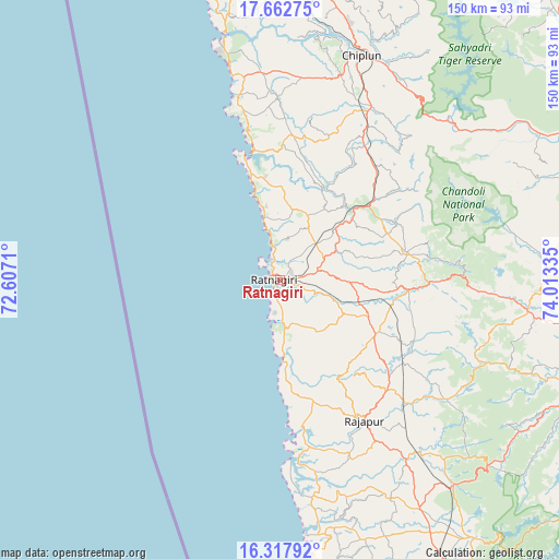
Ratnagiri GPS coordinates[2]
16° 59' 29.544" North, 73° 18' 36.792" East
| Map corner | latitude | longitude |
|---|---|---|
| Upper-left | 17.66275°, | 72.6071° |
| Center: | 16.99154°, | 73.31022° |
| Lower-right: | 16.31792°, | 74.01335° |
| Map W x H: | 149.5×149.5 km | = 92.9×92.9mi |
| max Lat: | 34.9274° ⇑74.8% North |
| Ratnagiri: | 16.99154° |
| min Lat: | ⇓25.2% South 8.09008° |
| min Long | Ratnagiri | max Long |
| 68.82655° | 73.31022° | 96.81° |
| W 6.7%⇐ | ⇒93.3% E |
Elevation
Elevation of Ratnagiri is 66 m = 217 ft, and this is 229.6 m = 753 ft below average elevation for this country.
| Max E: |
3681 m = 12077 ft | 75.6% |
| Avg. | 295.6 m = 970 ft | |
| Ratnagiri | 66 m = 217 ft | |
Min E: |
1 m = 3 ft | 24.4% |
See also: Ratnagiri elevation on elevation.city.
Geographical zone
Ratnagiri is located in North Torrid zone (between Equator and Tropic of Cancer). Distance of this Northern Tropic circle is 716.6 km =445.3 mi to North.| Distance of | km | miles | from Ratnagiri |
|---|---|---|---|
| North Pole | 8117.8 | 5044.2 | to North |
| Arctic Circle | 5511.9 | 3424.9 | to North |
| Tropic Cancer | 716.6 | 445.3 | to North |
| Equator | 1889.3 | 1174 | to South |


Nearby cities:
15 places around Ratnagiri: (largest is in red/bold)
• Chiplūn
63.9 km =39.7 mi,  19°
19°
• Dābhol
67.9 km =42.2 mi,  348°
348°
• Guhāgar
56.2 km =34.9 mi, 347°
• Harnai
94.1 km =58.5 mi, 346°
• Jalgaon
84.2 km =52.3 mi, 351°
• Kankauli
91.3 km =56.7 mi,  152°
152°
• Khed
81.4 km =50.6 mi,  6°
6°
• Koynanagar
66.4 km =41.3 mi,  46°
46°
• Lānja
29.3 km =18.2 mi,  119°
119°
• Mahābaleshwar
63.9 km =39.7 mi, 8°
• Malkāpur
66.9 km =41.6 mi,  96°
96°
• Mākhjan
36.9 km =22.9 mi,  33°
33°
• Panhāla
87.4 km =54.3 mi, 103°
• Pātan
75.9 km =47.2 mi,  55°
55°
• Rājāpur
43.2 km =26.8 mi, 149°
Sources, notices
• [Note1] Compared only with cities in India existing in our database
• [Src1] Map data: © OpenStreetMap contributors (CC-BY-SA)
• [Src2] Other city data from geonames.org with taken over terms of usage.
• [Src3] Geographical zone / Annual Mean Temperature by Robert A. Rohde @ Wikipedia
