Rānīr Bāzār geodata
Rānīr Bāzār (Tripura) is a populated place; located in India in Asia/Kolkata (GMT+5.5) time zone. With population of 11,810 people, there are 2757 cities with bigger population in this country. Compared to other cities in India, 57.1% of cities are located further ↓South; 96.3% of cities are located further ←West and 87.6% of cities have higher elevation than Rānīr Bāzār. Note1


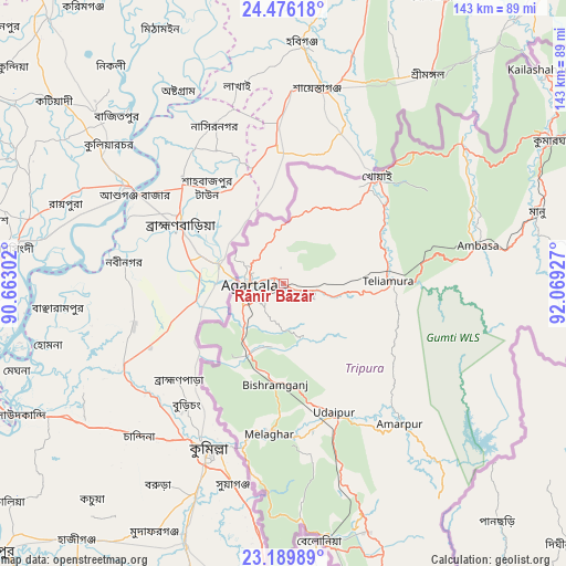
Rānīr Bāzār GPS coordinates[2]
23° 50' 4.668" North, 91° 21' 58.104" East
| Map corner | latitude | longitude |
|---|---|---|
| Upper-left | 24.47618°, | 90.66302° |
| Center: | 23.83463°, | 91.36614° |
| Lower-right: | 23.18989°, | 92.06927° |
| Map W x H: | 143×143 km | = 88.9×88.9mi |
| max Lat: | 34.9274° ⇑42.9% North |
| Rānīr Bāzār: | 23.83463° |
| min Lat: | ⇓57.1% South 8.09008° |
| min Long | Rānīr Bāzār | max Long |
| 68.82655° | 91.36614° | 96.81° |
| W 96.3%⇐ | ⇒3.7% E |
Elevation
Elevation of Rānīr Bāzār is 23 m = 75 ft, and this is 272.6 m = 894 ft below average elevation for this country.
| Max E: |
3681 m = 12077 ft | 87.6% |
| Avg. | 295.6 m = 970 ft | |
| Rānīr Bāzār | 23 m = 75 ft | |
Min E: |
1 m = 3 ft | 12.4% |
See also: India elevation on elevation.city.
Geographical zone
Rānīr Bāzār is located in North temperate zone (between Tropic of Cancer and the Arctic Circle). Distance of this Northern Tropic circle is 44.2 km =27.5 mi to South.| Distance of | km | miles | from Rānīr Bāzār |
|---|---|---|---|
| North Pole | 7356.9 | 4571.4 | to North |
| Arctic Circle | 4751 | 2952.1 | to North |
| Tropic Cancer | 44.2 | 27.5 | to South |
| Equator | 2650.2 | 1646.8 | to South |


Nearby cities:
15 places around Rānīr Bāzār: (largest is in red/bold)
• Agartala
8.8 km =5.5 mi,  271°
271°
• Amarpur
45.5 km =28.3 mi,  139°
139°
• Barjala
24.1 km =15 mi,  182°
182°
• Belonia
65.4 km =40.6 mi,  172°
172°
• Bishramganj
25.5 km =15.8 mi,  185°
185°
• Dharmanagar
100.5 km =62.4 mi,  53°
53°
• Kailāshahar
85.1 km =52.9 mi, 49°
• Kamalpur
62.3 km =38.7 mi, 49°
• Khowai
36.1 km =22.4 mi,  41°
41°
• Mamit
114.7 km =71.3 mi,  84°
84°
• Sabrūm
99.6 km =61.9 mi,  158°
158°
• Sonāmura
41.2 km =25.6 mi, 194°
• Sāitlaw
123.8 km =76.9 mi, 82°
• Udaipur
35.6 km =22.1 mi, 160°
• Āmbāsa
50.9 km =31.6 mi, 77°
Sources, notices
• [Note1] Compared only with cities in India existing in our database
• [Src1] Map data: © OpenStreetMap contributors (CC-BY-SA)
• [Src2] Other city data from geonames.org with taken over terms of usage.
• [Src3] Geographical zone / Annual Mean Temperature by Robert A. Rohde @ Wikipedia
