Sabrūm geodata
Sabrūm (Tripura) is a populated place; located in India in Asia/Kolkata (GMT+5.5) time zone. With population of 6,205 people, there are 3270 cities with bigger population in this country. Compared to other cities in India, 51.6% of cities are located further ↓South; 96.7% of cities are located further ←West and 86.4% of cities have higher elevation than Sabrūm. Note1


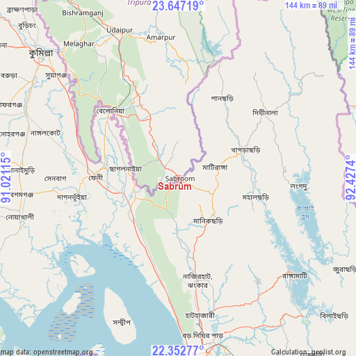
Sabrūm GPS coordinates[2]
23° 0' 5.508" North, 91° 43' 27.372" East
| Map corner | latitude | longitude |
|---|---|---|
| Upper-left | 23.64719°, | 91.02115° |
| Center: | 23.00153°, | 91.72427° |
| Lower-right: | 22.35277°, | 92.4274° |
| Map W x H: | 143.9×143.9 km | = 89.4×89.4mi |
| max Lat: | 34.9274° ⇑48.4% North |
| Sabrūm: | 23.00153° |
| min Lat: | ⇓51.6% South 8.09008° |
| min Long | Sabrūm | max Long |
| 68.82655° | 91.72427° | 96.81° |
| W 96.7%⇐ | ⇒3.3% E |
Elevation
Elevation of Sabrūm is 26 m = 85 ft, and this is 269.6 m = 885 ft below average elevation for this country.
| Max E: |
3681 m = 12077 ft | 86.4% |
| Avg. | 295.6 m = 970 ft | |
| Sabrūm | 26 m = 85 ft | |
Min E: |
1 m = 3 ft | 13.6% |
See also: India elevation on elevation.city.
Geographical zone
Sabrūm is located in North Torrid zone (between Equator and Tropic of Cancer). Distance of this Northern Tropic circle is 48.4 km =30.1 mi to North.| Distance of | km | miles | from Sabrūm |
|---|---|---|---|
| North Pole | 7449.5 | 4628.9 | to North |
| Arctic Circle | 4843.6 | 3009.7 | to North |
| Tropic Cancer | 48.4 | 30.1 | to North |
| Equator | 2557.5 | 1589.2 | to South |


Nearby cities:
15 places around Sabrūm: (largest is in red/bold)
• Agartala
103.3 km =64.2 mi,  333°
333°
• Aizawl
129.7 km =80.6 mi,  51°
51°
• Amarpur
58.7 km =36.5 mi,  353°
353°
• Barjala
78.2 km =48.6 mi, 331°
• Belonia
39.2 km =24.4 mi,  315°
315°
• Bishramganj
77.6 km =48.2 mi, 329°
• Khowai
120.5 km =74.9 mi, 353°
• Lunglei
104.9 km =65.2 mi,  96°
96°
• Mamit
129.2 km =80.3 mi,  37°
37°
• Rānīr Bāzār
99.6 km =61.9 mi,  338°
338°
• Serchhīp
119.3 km =74.1 mi,  74°
74°
• Sonāmura
70.5 km =43.8 mi, 318°
• Thenzawl
110.6 km =68.7 mi, 71°
• Udaipur
64 km =39.8 mi, 337°
• Āmbāsa
104.7 km =65.1 mi,  7°
7°
Sources, notices
• [Note1] Compared only with cities in India existing in our database
• [Src1] Map data: © OpenStreetMap contributors (CC-BY-SA)
• [Src2] Other city data from geonames.org with taken over terms of usage.
• [Src3] Geographical zone / Annual Mean Temperature by Robert A. Rohde @ Wikipedia
