Rajpur geodata
Rajpur (Madhya Pradesh) is a populated place; located in India in Asia/Kolkata (GMT+5.5) time zone. With population of 19,396 people, there are 2085 cities with bigger population in this country. Compared to other cities in India, 56.8% of cities are located further ↑North; 81.5% of cities are located further →East and 56.2% of cities have lower elevation than Rajpur. Note1


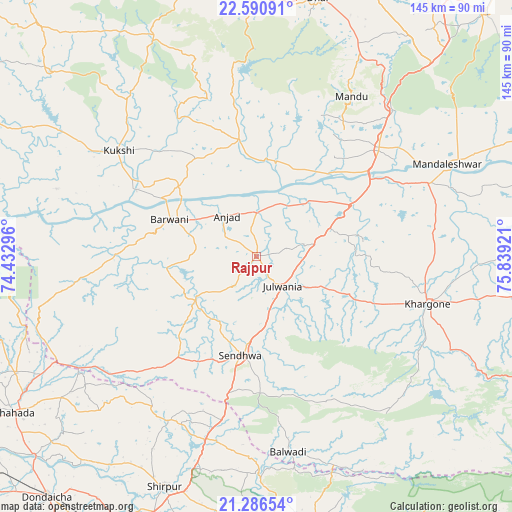
Rajpur GPS coordinates[2]
21° 56' 24.792" North, 75° 8' 9.888" East
| Map corner | latitude | longitude |
|---|---|---|
| Upper-left | 22.59091°, | 74.43296° |
| Center: | 21.94022°, | 75.13608° |
| Lower-right: | 21.28654°, | 75.83921° |
| Map W x H: | 145×145 km | = 90.1×90.1mi |
| max Lat: | 34.9274° ⇑56.8% North |
| Rajpur: | 21.94022° |
| min Lat: | ⇓43.2% South 8.09008° |
| min Long | Rajpur | max Long |
| 68.82655° | 75.13608° | 96.81° |
| W 18.5%⇐ | ⇒81.5% E |
Elevation
Elevation of Rajpur is 231 m = 758 ft, and this is 64.6 m = 212 ft below average elevation for this country.
| Max E: |
3681 m = 12077 ft | 43.8% |
| Avg. | 295.6 m = 970 ft | |
| Rajpur | 231 m = 758 ft | |
Min E: |
1 m = 3 ft | 56.2% |
See also: India elevation on elevation.city.
Geographical zone
Rajpur is located in North Torrid zone (between Equator and Tropic of Cancer). Distance of this Northern Tropic circle is 166.4 km =103.4 mi to North.| Distance of | km | miles | from Rajpur |
|---|---|---|---|
| North Pole | 7567.5 | 4702.2 | to North |
| Arctic Circle | 4961.7 | 3083.1 | to North |
| Tropic Cancer | 166.4 | 103.4 | to North |
| Equator | 2439.5 | 1515.8 | to South |


Nearby cities:
15 places around Rajpur: (largest is in red/bold)
• Anjad
14 km =8.7 mi,  323°
323°
• Barwāni
26.4 km =16.4 mi,  292°
292°
• Bāg
58.6 km =36.4 mi, 322°
• Dharampuri
31.7 km =19.7 mi,  42°
42°
• Dhāmnod
45.6 km =28.3 mi,  49°
49°
• Kasrāwad
53.2 km =33.1 mi,  66°
66°
• Khargone
51 km =31.7 mi,  104°
104°
• Khetia
64.2 km =39.9 mi,  242°
242°
• Kukshi
49 km =30.4 mi,  307°
307°
• Maheshwar
53.4 km =33.2 mi,  60°
60°
• Manāwar
33.2 km =20.6 mi,  351°
351°
• Māndleshwar
60 km =37.3 mi, 64°
• Pānsemāl
54.8 km =34.1 mi, 235°
• Sendhwa
28.6 km =17.8 mi,  188°
188°
• Shirpur
70.9 km =44.1 mi,  201°
201°
Sources, notices
• [Note1] Compared only with cities in India existing in our database
• [Src1] Map data: © OpenStreetMap contributors (CC-BY-SA)
• [Src2] Other city data from geonames.org with taken over terms of usage.
• [Src3] Geographical zone / Annual Mean Temperature by Robert A. Rohde @ Wikipedia
