Nandikotkūr geodata
Nandikotkūr (Andhra Pradesh) is a populated place; located in India in Asia/Kolkata (GMT+5.5) time zone. With population of 45,343 people, there are 978 cities with bigger population in this country. Compared to other cities in India, 78.4% of cities are located further ↑North; 51.9% of cities are located further ←West and 67.2% of cities have lower elevation than Nandikotkūr. Note1


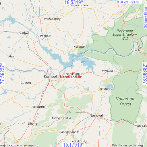
Nandikotkūr GPS coordinates[2]
15° 51' 24.048" North, 78° 15' 56.484" East
| Map corner | latitude | longitude |
|---|---|---|
| Upper-left | 16.5319°, | 77.56257° |
| Center: | 15.85668°, | 78.26569° |
| Lower-right: | 15.17919°, | 78.96882° |
| Map W x H: | 150.4×150.4 km | = 93.5×93.5mi |
| max Lat: | 34.9274° ⇑78.4% North |
| Nandikotkūr: | 15.85668° |
| min Lat: | ⇓21.6% South 8.09008° |
| min Long | Nandikotkūr | max Long |
| 68.82655° | 78.26569° | 96.81° |
| W 51.9%⇐ | ⇒48.1% E |
Elevation
Elevation of Nandikotkūr is 303 m = 994 ft, and this is 7.4 m = 24 ft above average elevation for this country.
| Max E: |
3681 m = 12077 ft | 32.8% |
| Nandikotkūr | 303 m 994 ft | |
| Avg. | 295.6 m = 970 ft | |
Min E: |
1 m = 3 ft | 67.2% |
See also: Nandikotkūr elevation on elevation.city.
Geographical zone
Nandikotkūr is located in North Torrid zone (between Equator and Tropic of Cancer). Distance of this Northern Tropic circle is 842.8 km =523.7 mi to North.| Distance of | km | miles | from Nandikotkūr |
|---|---|---|---|
| North Pole | 8244 | 5122.6 | to North |
| Arctic Circle | 5638.1 | 3503.4 | to North |
| Tropic Cancer | 842.8 | 523.7 | to North |
| Equator | 1763.1 | 1095.5 | to South |


Nearby cities:
15 places around Nandikotkūr: (largest is in red/bold)
• Atmakūr
34.5 km =21.4 mi,  85°
85°
• Banganapalle
60.1 km =37.3 mi,  183°
183°
• Betamcherla
46.8 km =29.1 mi,  195°
195°
• Dhone
66.4 km =41.3 mi,  219°
219°
• Diguvametta
79.2 km =49.2 mi,  130°
130°
• Emmiganūr
84.2 km =52.3 mi,  263°
263°
• Gadwāl
65.5 km =40.7 mi,  309°
309°
• Giddalūr
88.8 km =55.2 mi, 127°
• Kurnool
24.8 km =15.4 mi, 262°
• Nandyāl
48.1 km =29.9 mi,  151°
151°
• Nāgar Karnūl
69.8 km =43.4 mi,  5°
5°
• Rāmāpuram
76.3 km =47.4 mi,  213°
213°
• Srīsailain
68.7 km =42.7 mi,  69°
69°
• Wanparti
60.6 km =37.7 mi,  339°
339°
• Ālampur
14.4 km =8.9 mi,  280°
280°
Sources, notices
• [Note1] Compared only with cities in India existing in our database
• [Src1] Map data: © OpenStreetMap contributors (CC-BY-SA)
• [Src2] Other city data from geonames.org with taken over terms of usage.
• [Src3] Geographical zone / Annual Mean Temperature by Robert A. Rohde @ Wikipedia
