Rāmāpuram geodata
Rāmāpuram (Andhra Pradesh) is a populated place; located in India in Asia/Kolkata (GMT+5.5) time zone. With population of 5,961 people, there are 3293 cities with bigger population in this country. Compared to other cities in India, 80.8% of cities are located further ↑North; 52.8% of cities are located further →East and 80.1% of cities have lower elevation than Rāmāpuram. Note1


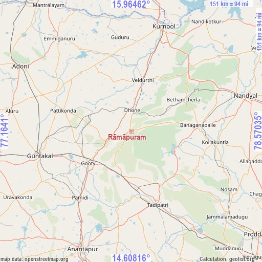
Rāmāpuram GPS coordinates[2]
15° 17' 14.964" North, 77° 52' 1.992" East
| Map corner | latitude | longitude |
|---|---|---|
| Upper-left | 15.96462°, | 77.1641° |
| Center: | 15.28749°, | 77.86722° |
| Lower-right: | 14.60816°, | 78.57035° |
| Map W x H: | 150.8×150.8 km | = 93.7×93.7mi |
| max Lat: | 34.9274° ⇑80.8% North |
| Rāmāpuram: | 15.28749° |
| min Lat: | ⇓19.2% South 8.09008° |
| min Long | Rāmāpuram | max Long |
| 68.82655° | 77.86722° | 96.81° |
| W 47.2%⇐ | ⇒52.8% E |
Elevation
Elevation of Rāmāpuram is 462 m = 1516 ft, and this is 166.4 m = 546 ft above average elevation for this country.
| Max E: |
3681 m = 12077 ft | 19.9% |
| Rāmāpuram | 462 m 1516 ft | |
| Avg. | 295.6 m = 970 ft | |
Min E: |
1 m = 3 ft | 80.1% |
See also: India elevation on elevation.city.
Geographical zone
Rāmāpuram is located in North Torrid zone (between Equator and Tropic of Cancer). Distance of this Northern Tropic circle is 906.1 km =563 mi to North.| Distance of | km | miles | from Rāmāpuram |
|---|---|---|---|
| North Pole | 8307.3 | 5161.9 | to North |
| Arctic Circle | 5701.4 | 3542.7 | to North |
| Tropic Cancer | 906.1 | 563 | to North |
| Equator | 1699.8 | 1056.2 | to South |


Nearby cities:
15 places around Rāmāpuram: (largest is in red/bold)
• Anantapur
73.3 km =45.5 mi,  202°
202°
• Banganapalle
38.7 km =24 mi,  85°
85°
• Betamcherla
35.2 km =21.9 mi,  58°
58°
• Dhone
12 km =7.5 mi,  2°
2°
• Emmiganūr
67.8 km =42.1 mi,  322°
322°
• Guntakal Junction
55.7 km =34.6 mi,  256°
256°
• Jammalamadugu
74 km =46 mi,  131°
131°
• Kosigi
91.8 km =57 mi,  313°
313°
• Kurnool
62.9 km =39.1 mi,  16°
16°
• Nandikotkūr
76.3 km =47.4 mi,  33°
33°
• Nandyāl
69.4 km =43.1 mi,  72°
72°
• Tādpatri
44.9 km =27.9 mi,  159°
159°
• Uravakonda
76 km =47.2 mi,  239°
239°
• Ādoni
73.9 km =45.9 mi,  300°
300°
• Ālampur
71.8 km =44.6 mi, 23°
Sources, notices
• [Note1] Compared only with cities in India existing in our database
• [Src1] Map data: © OpenStreetMap contributors (CC-BY-SA)
• [Src2] Other city data from geonames.org with taken over terms of usage.
• [Src3] Geographical zone / Annual Mean Temperature by Robert A. Rohde @ Wikipedia
