Lodhīkheda geodata
Lodhīkheda (Madhya Pradesh) is a populated place; located in India in Asia/Kolkata (GMT+5.5) time zone. With population of 9,994 people, there are 2948 cities with bigger population in this country. Compared to other cities in India, 58.7% of cities are located further ↑North; 57.6% of cities are located further ←West and 71.8% of cities have lower elevation than Lodhīkheda. Note1


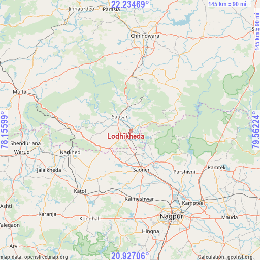
Lodhīkheda GPS coordinates[2]
21° 34' 56.46" North, 78° 51' 32.796" East
| Map corner | latitude | longitude |
|---|---|---|
| Upper-left | 22.23469°, | 78.15599° |
| Center: | 21.58235°, | 78.85911° |
| Lower-right: | 20.92706°, | 79.56224° |
| Map W x H: | 145.4×145.4 km | = 90.3×90.3mi |
| max Lat: | 34.9274° ⇑58.7% North |
| Lodhīkheda: | 21.58235° |
| min Lat: | ⇓41.3% South 8.09008° |
| min Long | Lodhīkheda | max Long |
| 68.82655° | 78.85911° | 96.81° |
| W 57.6%⇐ | ⇒42.4% E |
Elevation
Elevation of Lodhīkheda is 347 m = 1138 ft, and this is 51.4 m = 169 ft above average elevation for this country.
| Max E: |
3681 m = 12077 ft | 28.2% |
| Lodhīkheda | 347 m 1138 ft | |
| Avg. | 295.6 m = 970 ft | |
Min E: |
1 m = 3 ft | 71.8% |
See also: India elevation on elevation.city.
Geographical zone
Lodhīkheda is located in North Torrid zone (between Equator and Tropic of Cancer). Distance of this Northern Tropic circle is 206.2 km =128.1 mi to North.| Distance of | km | miles | from Lodhīkheda |
|---|---|---|---|
| North Pole | 7607.3 | 4727 | to North |
| Arctic Circle | 5001.4 | 3107.7 | to North |
| Tropic Cancer | 206.2 | 128.1 | to North |
| Equator | 2399.7 | 1491.1 | to South |


Nearby cities:
15 places around Lodhīkheda: (largest is in red/bold)
• Chhindwāra
53.4 km =33.2 mi,  8°
8°
• Kalmeshwar
39.4 km =24.5 mi,  170°
170°
• Khāpa
21.8 km =13.5 mi,  144°
144°
• Korādi
45.1 km =28 mi,  145°
145°
• Kāmthi
53.7 km =33.4 mi, 139°
• Kāndri
46.8 km =29.1 mi,  112°
112°
• Kātol
44.5 km =27.7 mi,  219°
219°
• Mansar
46.7 km =29 mi,  116°
116°
• Mohgaon
14.2 km =8.8 mi,  296°
296°
• Mohpa
30.4 km =18.9 mi,  185°
185°
• Mowād
44.2 km =27.5 mi,  252°
252°
• Pāndhurnā
34.4 km =21.4 mi,  272°
272°
• Rāmtek
52.7 km =32.7 mi, 113°
• Saoner
22.9 km =14.2 mi,  163°
163°
• Sausar
10.4 km =6.5 mi,  321°
321°
Sources, notices
• [Note1] Compared only with cities in India existing in our database
• [Src1] Map data: © OpenStreetMap contributors (CC-BY-SA)
• [Src2] Other city data from geonames.org with taken over terms of usage.
• [Src3] Geographical zone / Annual Mean Temperature by Robert A. Rohde @ Wikipedia
