Kailāras geodata
Kailāras (Madhya Pradesh) is a populated place; located in India in Asia/Kolkata (GMT+5.5) time zone. With population of 24,539 people, there are 1734 cities with bigger population in this country. Compared to other cities in India, 73% of cities are located further ↓South; 55.8% of cities are located further →East and 51.7% of cities have higher elevation than Kailāras. Note1


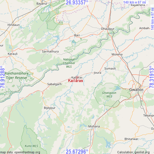
Kailāras GPS coordinates[2]
26° 18' 17.928" North, 77° 36' 57.6" East
| Map corner | latitude | longitude |
|---|---|---|
| Upper-left | 26.93357°, | 76.91288° |
| Center: | 26.30498°, | 77.616° |
| Lower-right: | 25.67296°, | 78.31913° |
| Map W x H: | 140.2×140.2 km | = 87.1×87.1mi |
| max Lat: | 34.9274° ⇑27% North |
| Kailāras: | 26.30498° |
| min Lat: | ⇓73% South 8.09008° |
| min Long | Kailāras | max Long |
| 68.82655° | 77.616° | 96.81° |
| W 44.2%⇐ | ⇒55.8% E |
Elevation
Elevation of Kailāras is 193 m = 633 ft, and this is 102.6 m = 337 ft below average elevation for this country.
| Max E: |
3681 m = 12077 ft | 51.7% |
| Avg. | 295.6 m = 970 ft | |
| Kailāras | 193 m = 633 ft | |
Min E: |
1 m = 3 ft | 48.3% |
See also: India elevation on elevation.city.
Geographical zone
Kailāras is located in North temperate zone (between Tropic of Cancer and the Arctic Circle). Distance of this Northern Tropic circle is 318.9 km =198.2 mi to South.| Distance of | km | miles | from Kailāras |
|---|---|---|---|
| North Pole | 7082.2 | 4400.7 | to North |
| Arctic Circle | 4476.3 | 2781.4 | to North |
| Tropic Cancer | 318.9 | 198.2 | to South |
| Equator | 2924.8 | 1817.4 | to South |


Nearby cities:
15 places around Kailāras: (largest is in red/bold)
• Ambāh
75.3 km =46.8 mi,  53°
53°
• Antri
65.3 km =40.6 mi,  114°
114°
• Bayāna
74.5 km =46.3 mi,  334°
334°
• Bāri
38 km =23.6 mi,  0°
0°
• Dhaulpur
50.5 km =31.4 mi,  31°
31°
• Gwalior
56.2 km =34.9 mi,  98°
98°
• Hindaun
74.9 km =46.5 mi,  309°
309°
• Jagnair
62.1 km =38.6 mi,  358°
358°
• Jora
19.7 km =12.2 mi,  77°
77°
• Karauli
62.4 km =38.8 mi,  290°
290°
• Khairāgarh
73.7 km =45.8 mi,  15°
15°
• Morena
43.5 km =27 mi,  60°
60°
• Morār
61.3 km =38.1 mi, 98°
• Sabalgarh
21.7 km =13.5 mi,  253°
253°
• Tekanpur
75 km =46.6 mi,  117°
117°
Sources, notices
• [Note1] Compared only with cities in India existing in our database
• [Src1] Map data: © OpenStreetMap contributors (CC-BY-SA)
• [Src2] Other city data from geonames.org with taken over terms of usage.
• [Src3] Geographical zone / Annual Mean Temperature by Robert A. Rohde @ Wikipedia
