Haliyal geodata
Haliyal (Karnataka) is a populated place; located in India in Asia/Kolkata (GMT+5.5) time zone. With population of 21,625 people, there are 1924 cities with bigger population in this country. Compared to other cities in India, 80.6% of cities are located further ↑North; 84.8% of cities are located further →East and 85.3% of cities have lower elevation than Haliyal. Note1


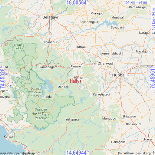
Haliyal GPS coordinates[2]
15° 19' 43.104" North, 74° 45' 22.968" East
| Map corner | latitude | longitude |
|---|---|---|
| Upper-left | 16.00564°, | 74.05326° |
| Center: | 15.32864°, | 74.75638° |
| Lower-right: | 14.64944°, | 75.45951° |
| Map W x H: | 150.8×150.8 km | = 93.7×93.7mi |
| max Lat: | 34.9274° ⇑80.6% North |
| Haliyal: | 15.32864° |
| min Lat: | ⇓19.4% South 8.09008° |
| min Long | Haliyal | max Long |
| 68.82655° | 74.75638° | 96.81° |
| W 15.2%⇐ | ⇒84.8% E |
Elevation
Elevation of Haliyal is 554 m = 1818 ft, and this is 258.4 m = 848 ft above average elevation for this country.
| Max E: |
3681 m = 12077 ft | 14.7% |
| Haliyal | 554 m 1818 ft | |
| Avg. | 295.6 m = 970 ft | |
Min E: |
1 m = 3 ft | 85.3% |
See also: India elevation on elevation.city.
Geographical zone
Haliyal is located in North Torrid zone (between Equator and Tropic of Cancer). Distance of this Northern Tropic circle is 901.5 km =560.2 mi to North.| Distance of | km | miles | from Haliyal |
|---|---|---|---|
| North Pole | 8302.7 | 5159.1 | to North |
| Arctic Circle | 5696.8 | 3539.8 | to North |
| Tropic Cancer | 901.5 | 560.2 | to North |
| Equator | 1704.4 | 1059.1 | to South |


Nearby cities:
15 places around Haliyal: (largest is in red/bold)
• Alnāvar
11.1 km =6.9 mi,  351°
351°
• Bail-Hongal
55 km =34.2 mi,  11°
11°
• Belgaum
64.2 km =39.9 mi,  335°
335°
• Dandeli
16.5 km =10.3 mi,  245°
245°
• Hubli
40.5 km =25.2 mi,  86°
86°
• Kalghatgi
28.1 km =17.5 mi,  125°
125°
• Khānāpur
43.6 km =27.1 mi,  322°
322°
• Kundgol
53.3 km =33.1 mi,  98°
98°
• Londa
29.8 km =18.5 mi,  301°
301°
• Mundgod
49.8 km =30.9 mi,  142°
142°
• Sanguem
65.8 km =40.9 mi,  260°
260°
• Sanvordem
68.7 km =42.7 mi, 263°
• Saundatti
62.2 km =38.6 mi,  38°
38°
• Shiggaon
62.8 km =39 mi, 126°
• Yellāpur
40.9 km =25.4 mi,  187°
187°
Sources, notices
• [Note1] Compared only with cities in India existing in our database
• [Src1] Map data: © OpenStreetMap contributors (CC-BY-SA)
• [Src2] Other city data from geonames.org with taken over terms of usage.
• [Src3] Geographical zone / Annual Mean Temperature by Robert A. Rohde @ Wikipedia
