Ghazīpur geodata
Ghazīpur (Uttar Pradesh) is a populated place; located in India in Asia/Kolkata (GMT+5.5) time zone. With population of 103,095 people, there are 425 cities with bigger population in this country. Compared to other cities in India, 67.6% of cities are located further ↓South; 81% of cities are located further ←West and 73.4% of cities have higher elevation than Ghazīpur. Note1


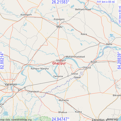
Ghazīpur GPS coordinates[2]
25° 34' 59.988" North, 83° 35' 6.936" East
| Map corner | latitude | longitude |
|---|---|---|
| Upper-left | 26.21583°, | 82.88214° |
| Center: | 25.58333°, | 83.58526° |
| Lower-right: | 24.94747°, | 84.28839° |
| Map W x H: | 141×141 km | = 87.6×87.6mi |
| max Lat: | 34.9274° ⇑32.4% North |
| Ghazīpur: | 25.58333° |
| min Lat: | ⇓67.6% South 8.09008° |
| min Long | Ghazīpur | max Long |
| 68.82655° | 83.58526° | 96.81° |
| W 81%⇐ | ⇒19% E |
Elevation
Elevation of Ghazīpur is 77 m = 253 ft, and this is 218.6 m = 717 ft below average elevation for this country.
| Max E: |
3681 m = 12077 ft | 73.4% |
| Avg. | 295.6 m = 970 ft | |
| Ghazīpur | 77 m = 253 ft | |
Min E: |
1 m = 3 ft | 26.6% |
See also: Ghazīpur elevation on elevation.city.
Geographical zone
Ghazīpur is located in North temperate zone (between Tropic of Cancer and the Arctic Circle). Distance of this Northern Tropic circle is 238.7 km =148.3 mi to South.| Distance of | km | miles | from Ghazīpur |
|---|---|---|---|
| North Pole | 7162.5 | 4450.6 | to North |
| Arctic Circle | 4556.6 | 2831.3 | to North |
| Tropic Cancer | 238.7 | 148.3 | to South |
| Equator | 2844.6 | 1767.6 | to South |


Nearby cities:
15 places around Ghazīpur: (largest is in red/bold)
• Bhabhua
60.4 km =37.5 mi,  177°
177°
• Buxar
39.6 km =24.6 mi,  91°
91°
• Chandauli
48.2 km =30 mi,  221°
221°
• Dumraon
56.9 km =35.4 mi, 93°
• Ghosī
58.3 km =36.2 mi,  355°
355°
• Kopāganj
48.5 km =30.1 mi, 357°
• Mau
39.9 km =24.8 mi, 356°
• Mehnagar
57.3 km =35.6 mi,  304°
304°
• Mughal Sarāi
57.4 km =35.7 mi,  234°
234°
• Muhammadābād
17.6 km =10.9 mi,  76°
76°
• Muhammadābād
54.1 km =33.6 mi,  337°
337°
• Rasrā
40.7 km =25.3 mi,  41°
41°
• Saidpur
36.6 km =22.7 mi,  261°
261°
• Sādāt
30 km =18.6 mi,  289°
289°
• Zamānia
18.4 km =11.4 mi,  188°
188°
Sources, notices
• [Note1] Compared only with cities in India existing in our database
• [Src1] Map data: © OpenStreetMap contributors (CC-BY-SA)
• [Src2] Other city data from geonames.org with taken over terms of usage.
• [Src3] Geographical zone / Annual Mean Temperature by Robert A. Rohde @ Wikipedia
