Dabhoi geodata
Dabhoi (Gujarat) is a populated place; located in India in Asia/Kolkata (GMT+5.5) time zone. With population of 56,253 people, there are 790 cities with bigger population in this country. Compared to other cities in India, 55.4% of cities are located further ↑North; 92.8% of cities are located further →East and 80.5% of cities have higher elevation than Dabhoi. Note1


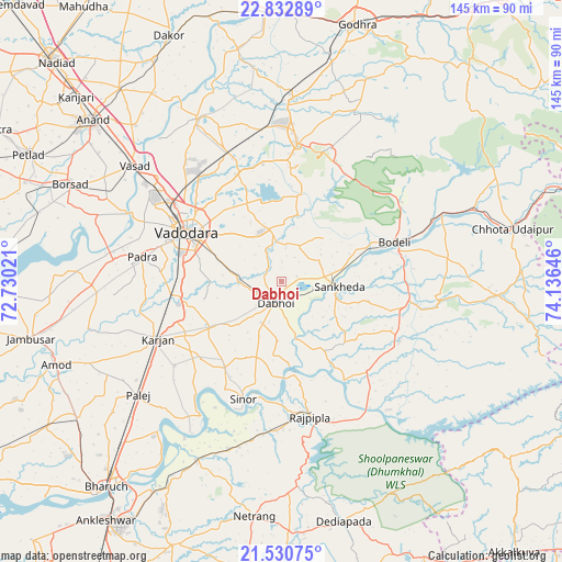
Dabhoi GPS coordinates[2]
22° 10' 59.988" North, 73° 25' 59.988" East
| Map corner | latitude | longitude |
|---|---|---|
| Upper-left | 22.83289°, | 72.73021° |
| Center: | 22.18333°, | 73.43333° |
| Lower-right: | 21.53075°, | 74.13646° |
| Map W x H: | 144.8×144.8 km | = 90×90mi |
| max Lat: | 34.9274° ⇑55.4% North |
| Dabhoi: | 22.18333° |
| min Lat: | ⇓44.6% South 8.09008° |
| min Long | Dabhoi | max Long |
| 68.82655° | 73.43333° | 96.81° |
| W 7.2%⇐ | ⇒92.8% E |
Elevation
Elevation of Dabhoi is 46 m = 151 ft, and this is 249.6 m = 819 ft below average elevation for this country.
| Max E: |
3681 m = 12077 ft | 80.5% |
| Avg. | 295.6 m = 970 ft | |
| Dabhoi | 46 m = 151 ft | |
Min E: |
1 m = 3 ft | 19.5% |
See also: Dabhoi elevation on elevation.city.
Geographical zone
Dabhoi is located in North Torrid zone (between Equator and Tropic of Cancer). Distance of this Northern Tropic circle is 139.4 km =86.6 mi to North.| Distance of | km | miles | from Dabhoi |
|---|---|---|---|
| North Pole | 7540.5 | 4685.4 | to North |
| Arctic Circle | 4934.6 | 3066.2 | to North |
| Tropic Cancer | 139.4 | 86.6 | to North |
| Equator | 2466.6 | 1532.7 | to South |


Nearby cities:
15 places around Dabhoi: (largest is in red/bold)
• Amod
61.7 km =38.3 mi,  249°
249°
• Anand
64 km =39.8 mi,  309°
309°
• Borsad
60.5 km =37.6 mi,  294°
294°
• Chhota Udepur
61.4 km =38.2 mi,  77°
77°
• Hālol
35.8 km =22.2 mi,  6°
6°
• Jetpur
45.6 km =28.3 mi,  66°
66°
• Kālol
47.3 km =29.4 mi,  3°
3°
• Padra
36.5 km =22.7 mi,  279°
279°
• Rājpīpla
35.9 km =22.3 mi,  168°
168°
• Sankheda
15 km =9.3 mi,  95°
95°
• Shivrājpur
32.2 km =20 mi,  34°
34°
• Sinor
31.8 km =19.8 mi,  197°
197°
• Vadodara
26.5 km =16.5 mi,  299°
299°
• Vejalpur
57.9 km =36 mi, 13°
• Vāghodia
14 km =8.7 mi,  345°
345°
Sources, notices
• [Note1] Compared only with cities in India existing in our database
• [Src1] Map data: © OpenStreetMap contributors (CC-BY-SA)
• [Src2] Other city data from geonames.org with taken over terms of usage.
• [Src3] Geographical zone / Annual Mean Temperature by Robert A. Rohde @ Wikipedia
