Qushtepe geodata
Qushtepe (Arbīl) is a seat of a third-order administrative division; located in Iraq in Asia/Baghdad (GMT+3) time zone. In our database, there are 71 cities with bigger population. Compared to other cities in Iraq, 72.5% of cities are located further ↓South; 65.5% of cities are located further →East and 68.3% of cities have lower elevation than Qushtepe. Note1


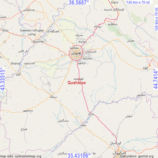
Qushtepe GPS coordinates[2]
36° 0' 6.948" North, 44° 2' 17.772" East
| Map corner | latitude | longitude |
|---|---|---|
| Upper-left | 36.5687°, | 43.33515° |
| Center: | 36.00193°, | 44.03827° |
| Lower-right: | 35.43106°, | 44.7414° |
| Map W x H: | 126.5×126.5 km | = 78.6×78.6mi |
| max Lat: | 37.22781° ⇑27.5% North |
| Qushtepe: | 36.00193° |
| min Lat: | ⇓72.5% South 29.97421° |
| min Long | Qushtepe | max Long |
| 40.28586° | 44.03827° | 48.47309° |
| W 34.5%⇐ | ⇒65.5% E |
Elevation
Elevation of Qushtepe is 396 m = 1299 ft, and this is 103 m = 338 ft above average elevation for this country.
| Max E: |
1316 m = 4318 ft | 31.7% |
| Qushtepe | 396 m 1299 ft | |
| Avg. | 293 m = 961 ft | |
Min E: |
1 m = 3 ft | 68.3% |
See also: Iraq elevation on elevation.city.
Geographical zone
Qushtepe is located in North temperate zone (between Tropic of Cancer and the Arctic Circle). Distance of this Northern Tropic circle is 1397.1 km =868.1 mi to South.| Distance of | km | miles | from Qushtepe |
|---|---|---|---|
| North Pole | 6004 | 3730.7 | to North |
| Arctic Circle | 3398.1 | 2111.5 | to North |
| Tropic Cancer | 1397.1 | 868.1 | to South |
| Equator | 4003 | 2487.3 | to South |


Nearby cities:
15 places around Qushtepe: (largest is in red/bold)
• Al Qayyārah
70.7 km =43.9 mi,  251°
251°
• Al-Hamdaniya
66.4 km =41.3 mi,  296°
296°
• Beḧirke
34.9 km =21.7 mi,  359°
359°
• Dare Tû
13.3 km =8.3 mi,  8°
8°
• Dibis
36.5 km =22.7 mi,  175°
175°
• Erbil
20.3 km =12.6 mi,  353°
353°
• Hīrān
51.1 km =31.8 mi,  53°
53°
• Kasnazān
23.7 km =14.7 mi,  20°
20°
• Kirkuk
67.4 km =41.9 mi,  151°
151°
• Koysinceq
53.8 km =33.4 mi,  80°
80°
• Mexmur
48.3 km =30 mi,  238°
238°
• Nāḩiyat Hīrān
50.8 km =31.6 mi, 52°
• Shaqlāwah
51.6 km =32.1 mi,  29°
29°
• Xebat
45.1 km =28 mi,  312°
312°
• ‘Aynkāwah
25.7 km =16 mi, 351°
Sources, notices
• [Note1] Compared only with cities in Iraq existing in our database
• [Src1] Map data: © OpenStreetMap contributors (CC-BY-SA)
• [Src2] Other city data from geonames.org with taken over terms of usage.
• [Src3] Geographical zone / Annual Mean Temperature by Robert A. Rohde @ Wikipedia
