Al Qayyārah geodata
Al Qayyārah (Nineveh) is a seat of a third-order administrative division; located in Iraq in Asia/Baghdad (GMT+3) time zone. In our database, there are 71 cities with bigger population. Compared to other cities in Iraq, 70.4% of cities are located further ↓South; 81.7% of cities are located further →East and 54.2% of cities have lower elevation than Al Qayyārah. Note1


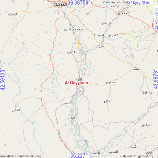
Al Qayyārah GPS coordinates[2]
35° 47' 57.588" North, 43° 17' 40.092" East
| Map corner | latitude | longitude |
|---|---|---|
| Upper-left | 36.36756°, | 42.59135° |
| Center: | 35.79933°, | 43.29447° |
| Lower-right: | 35.227°, | 43.9976° |
| Map W x H: | 126.8×126.8 km | = 78.8×78.8mi |
| max Lat: | 37.22781° ⇑29.6% North |
| Al Qayyārah: | 35.79933° |
| min Lat: | ⇓70.4% South 29.97421° |
| min Long | Al Qayyārah | max Long |
| 40.28586° | 43.29447° | 48.47309° |
| W 18.3%⇐ | ⇒81.7% E |
Elevation
Elevation of Al Qayyārah is 183 m = 600 ft, and this is 110 m = 361 ft below average elevation for this country.
| Max E: |
1316 m = 4318 ft | 45.8% |
| Avg. | 293 m = 961 ft | |
| Al Qayyārah | 183 m = 600 ft | |
Min E: |
1 m = 3 ft | 54.2% |
See also: Iraq elevation on elevation.city.
Geographical zone
Al Qayyārah is located in North temperate zone (between Tropic of Cancer and the Arctic Circle). Distance of this Northern Tropic circle is 1374.6 km =854.1 mi to South.| Distance of | km | miles | from Al Qayyārah |
|---|---|---|---|
| North Pole | 6026.5 | 3744.7 | to North |
| Arctic Circle | 3420.7 | 2125.5 | to North |
| Tropic Cancer | 1374.6 | 854.1 | to South |
| Equator | 3980.5 | 2473.4 | to South |


Nearby cities:
15 places around Al Qayyārah: (largest is in red/bold)
• Al Mawşil al Jadīdah
61.7 km =38.3 mi,  344°
344°
• Al Ḩawījah
68.1 km =42.3 mi,  140°
140°
• Al Ḩaḑar
56.5 km =35.1 mi,  243°
243°
• Al ‘Abbāsī
64.3 km =40 mi,  154°
154°
• Al-Hamdaniya
53 km =32.9 mi,  8°
8°
• Ash Sharqāt
31.9 km =19.8 mi,  190°
190°
• Dare Tû
77.6 km =48.2 mi,  62°
62°
• Dibis
71.4 km =44.4 mi,  101°
101°
• Erbil
77.4 km =48.1 mi, 56°
• Mexmur
25.9 km =16.1 mi, 95°
• Mosul
61.6 km =38.3 mi,  345°
345°
• Qushtepe
70.7 km =43.9 mi,  71°
71°
• Tallkayf
78.5 km =48.8 mi, 348°
• Xebat
63.1 km =39.2 mi,  32°
32°
• ‘Aynkāwah
79.1 km =49.2 mi,  52°
52°
Sources, notices
• [Note1] Compared only with cities in Iraq existing in our database
• [Src1] Map data: © OpenStreetMap contributors (CC-BY-SA)
• [Src2] Other city data from geonames.org with taken over terms of usage.
• [Src3] Geographical zone / Annual Mean Temperature by Robert A. Rohde @ Wikipedia
