Sarābleh geodata
Sarābleh (Ilam Province) is a seat of a second-order administrative division; located in Iran in Asia/Tehran (GMT+3.5) time zone. In our database, there are 232 cities with bigger population. Compared to other cities in Iran, 55.8% of cities are located further ↑North; 90.2% of cities are located further →East and 57.8% of cities have higher elevation than Sarābleh. Note1


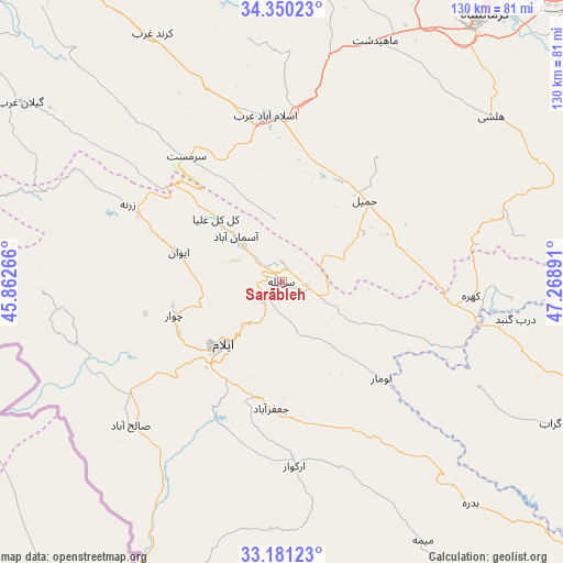
Sarābleh GPS coordinates[2]
33° 46' 3.792" North, 46° 33' 56.808" East
| Map corner | latitude | longitude |
|---|---|---|
| Upper-left | 34.35023°, | 45.86266° |
| Center: | 33.76772°, | 46.56578° |
| Lower-right: | 33.18123°, | 47.26891° |
| Map W x H: | 130×130 km | = 80.8×80.8mi |
| max Lat: | 39.6482° ⇑55.8% North |
| Sarābleh: | 33.76772° |
| min Lat: | ⇓44.2% South 25.2919° |
| min Long | Sarābleh | max Long |
| 44.38416° | 46.56578° | 61.9965° |
| W 9.8%⇐ | ⇒90.2% E |
Elevation
Elevation of Sarābleh is 1027 m = 3369 ft, and this is 22 m = 72 ft below average elevation for this country.
| Max E: |
2564 m = 8412 ft | 57.8% |
| Avg. | 1049 m = 3442 ft | |
| Sarābleh | 1027 m = 3369 ft | |
Min E: |
-24 m = -79 ft | 42.2% |
See also: Iran elevation on elevation.city.
Geographical zone
Sarābleh is located in North temperate zone (between Tropic of Cancer and the Arctic Circle). Distance of this Northern Tropic circle is 1148.7 km =713.8 mi to South.| Distance of | km | miles | from Sarābleh |
|---|---|---|---|
| North Pole | 6252.4 | 3885.1 | to North |
| Arctic Circle | 3646.6 | 2265.9 | to North |
| Tropic Cancer | 1148.7 | 713.8 | to South |
| Equator | 3754.6 | 2333 | to South |


Nearby cities:
15 places around Sarābleh: (largest is in red/bold)
• Arakvāz-e Malekshāhī
42.9 km =26.7 mi,  175°
175°
• Darreh Shahr
102.5 km =63.7 mi,  132°
132°
• Eslāmābād-e Gharb
38.2 km =23.7 mi,  354°
354°
• Eyvān
24.6 km =15.3 mi,  285°
285°
• Gīlān-e Gharb
72.6 km =45.1 mi,  304°
304°
• Harsīn
109.5 km =68 mi,  59°
59°
• Javānrūd
114.4 km =71.1 mi,  357°
357°
• Kahrīz
82 km =51 mi,  33°
33°
• Kerend-e Gharb
64.7 km =40.2 mi,  332°
332°
• Kermanshah
76.2 km =47.3 mi,  37°
37°
• Kūhdasht
100.1 km =62.2 mi,  105°
105°
• Mehrān
80.9 km =50.3 mi,  207°
207°
• Ravānsar
105.7 km =65.7 mi,  4°
4°
• Sarpol-e Z̄ahāb
100.7 km =62.6 mi,  319°
319°
• Īlām
19.6 km =12.2 mi,  222°
222°
Sources, notices
• [Note1] Compared only with cities in Iran existing in our database
• [Src1] Map data: © OpenStreetMap contributors (CC-BY-SA)
• [Src2] Other city data from geonames.org with taken over terms of usage.
• [Src3] Geographical zone / Annual Mean Temperature by Robert A. Rohde @ Wikipedia
