Ono geodata
Ono (Hyōgo) is a seat of a second-order administrative division; located in Japan in Asia/Tokyo (GMT+9) time zone. With population of 50,230 people, there are 374 cities with bigger population in this country. Compared to other cities in Japan, 62.7% of cities are located further ↑North; 71% of cities are located further →East and 63.4% of cities have lower elevation than Ono. Note1


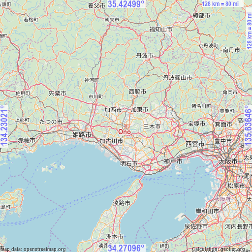
Ono GPS coordinates[2]
34° 51' 0" North, 134° 55' 59.988" East
| Map corner | latitude | longitude |
|---|---|---|
| Upper-left | 35.42499°, | 134.23021° |
| Center: | 34.85°, | 134.93333° |
| Lower-right: | 34.27096°, | 135.63646° |
| Map W x H: | 128.3×128.3 km | = 79.7×79.7mi |
| max Lat: | 45.40944° ⇑62.7% North |
| Ono: | 34.85° |
| min Lat: | ⇓37.3% South 24.34478° |
| min Long | Ono | max Long |
| 123° | 134.93333° | 145.575° |
| W 29%⇐ | ⇒71% E |
Elevation
Elevation of Ono is 53 m = 174 ft, and this is 31.6 m = 104 ft below average elevation for this country.
| Max E: |
1086 m = 3563 ft | 36.6% |
| Avg. | 84.6 m = 278 ft | |
| Ono | 53 m = 174 ft | |
Min E: |
-2 m = -7 ft | 63.4% |
See also: Ono elevation on elevation.city.
Geographical zone
Ono is located in North temperate zone (between Tropic of Cancer and the Arctic Circle). Distance of this Northern Tropic circle is 1269 km =788.5 mi to South.| Distance of | km | miles | from Ono |
|---|---|---|---|
| North Pole | 6132.1 | 3810.3 | to North |
| Arctic Circle | 3526.2 | 2191.1 | to North |
| Tropic Cancer | 1269 | 788.5 | to South |
| Equator | 3875 | 2407.8 | to South |


Nearby cities:
15 places around Ono: (largest is in red/bold)
• Akashi
22.7 km =14.1 mi,  162°
162°
• Himeji
21.6 km =13.4 mi,  260°
260°
• Kakogawa
12.5 km =7.8 mi,  207°
207°
• Kakogawachō-honmachi
13.1 km =8.1 mi,  226°
226°
• Kasai
11.7 km =7.3 mi,  316°
316°
• Katō
11.8 km =7.3 mi,  45°
45°
• Kobe
28.8 km =17.9 mi,  127°
127°
• Miki
7.2 km =4.5 mi,  140°
140°
• Nishiwaki
15.4 km =9.6 mi,  13°
13°
• Sanda
27.8 km =17.3 mi,  67°
67°
• Sandachō
27.1 km =16.8 mi,  81°
81°
• Shirahamachō-usazakiminami
21.1 km =13.1 mi,  249°
249°
• Takasago
16.1 km =10 mi, 233°
• Yashiro
8 km =5 mi,  22°
22°
• Yonedacho Sendo
12.9 km =8 mi, 229°
Sources, notices
• [Note1] Compared only with cities in Japan existing in our database
• [Src1] Map data: © OpenStreetMap contributors (CC-BY-SA)
• [Src2] Other city data from geonames.org with taken over terms of usage.
• [Src3] Geographical zone / Annual Mean Temperature by Robert A. Rohde @ Wikipedia
