Isesaki geodata
Isesaki (Gunma) is a seat of a second-order administrative division; located in Japan in Asia/Tokyo (GMT+9) time zone. With population of 130,692 people, there are 162 cities with bigger population in this country. Compared to other cities in Japan, 74.1% of cities are located further ↓South; 62.9% of cities are located further ←West and 67.1% of cities have lower elevation than Isesaki. Note1


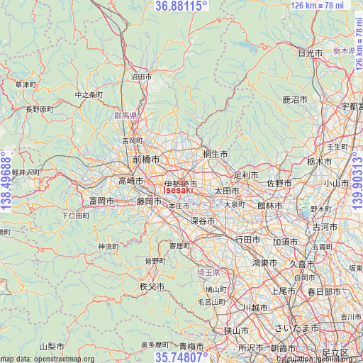
Isesaki GPS coordinates[2]
36° 19' 0.012" North, 139° 12' 0" East
| Map corner | latitude | longitude |
|---|---|---|
| Upper-left | 36.88115°, | 138.49688° |
| Center: | 36.31667°, | 139.2° |
| Lower-right: | 35.74807°, | 139.90313° |
| Map W x H: | 126×126 km | = 78.3×78.3mi |
| max Lat: | 45.40944° ⇑25.9% North |
| Isesaki: | 36.31667° |
| min Lat: | ⇓74.1% South 24.34478° |
| min Long | Isesaki | max Long |
| 123° | 139.2° | 145.575° |
| W 62.9%⇐ | ⇒37.1% E |
Elevation
Elevation of Isesaki is 62 m = 203 ft, and this is 22.6 m = 74 ft below average elevation for this country.
| Max E: |
1086 m = 3563 ft | 32.9% |
| Avg. | 84.6 m = 278 ft | |
| Isesaki | 62 m = 203 ft | |
Min E: |
-2 m = -7 ft | 67.1% |
See also: Isesaki elevation on elevation.city.
Geographical zone
Isesaki is located in North temperate zone (between Tropic of Cancer and the Arctic Circle). Distance of this Northern Tropic circle is 1432.1 km =889.9 mi to South.| Distance of | km | miles | from Isesaki |
|---|---|---|---|
| North Pole | 5969 | 3709 | to North |
| Arctic Circle | 3363.1 | 2089.7 | to North |
| Tropic Cancer | 1432.1 | 889.9 | to South |
| Equator | 4038 | 2509.1 | to South |


Nearby cities:
15 places around Isesaki: (largest is in red/bold)
• Fujioka
13.9 km =8.6 mi,  235°
235°
• Fukaya
16.4 km =10.2 mi,  160°
160°
• Fukayachō
15 km =9.3 mi,  150°
150°
• Honjō
8.8 km =5.5 mi,  185°
185°
• Kiryū
15.1 km =9.4 mi,  52°
52°
• Kodamachō-kodamaminami
15.9 km =9.9 mi,  202°
202°
• Maebashi
14 km =8.7 mi,  311°
311°
• Menuma
19.4 km =12.1 mi,  122°
122°
• Midori
16.1 km =10 mi,  27°
27°
• Sakai-nakajima
7.1 km =4.4 mi,  141°
141°
• Takasaki
16.5 km =10.3 mi,  276°
276°
• Tamamura
7.7 km =4.8 mi,  256°
256°
• Yoshii
20.8 km =12.9 mi,  249°
249°
• Ōmamachō-ōmama
14.5 km =9 mi, 27°
• Ōta
15 km =9.3 mi,  97°
97°
Sources, notices
• [Note1] Compared only with cities in Japan existing in our database
• [Src1] Map data: © OpenStreetMap contributors (CC-BY-SA)
• [Src2] Other city data from geonames.org with taken over terms of usage.
• [Src3] Geographical zone / Annual Mean Temperature by Robert A. Rohde @ Wikipedia
