Wakkanai geodata
Wakkanai (Hokkaido) is a seat of a second-order administrative division; located in Japan in Asia/Tokyo (GMT+9) time zone. With population of 41,556 people, there are 436 cities with bigger population in this country. Compared to other cities in Japan, 100% of cities are located further ↓South; 96.7% of cities are located further ←West and 81.8% of cities have higher elevation than Wakkanai. Note1


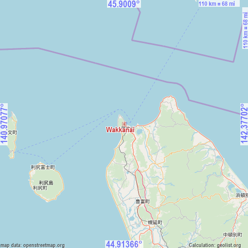
Wakkanai GPS coordinates[2]
45° 24' 33.984" North, 141° 40' 26.004" East
| Map corner | latitude | longitude |
|---|---|---|
| Upper-left | 45.9009°, | 140.97077° |
| Center: | 45.40944°, | 141.67389° |
| Lower-right: | 44.91366°, | 142.37702° |
| Map W x H: | 109.8×109.8 km | = 68.2×68.2mi |
| max Lat: | 45.40944° ⇑0% North |
| Wakkanai: | 45.40944° |
| min Lat: | ⇓100% South 24.34478° |
| min Long | Wakkanai | max Long |
| 123° | 141.67389° | 145.575° |
| W 96.7%⇐ | ⇒3.3% E |
Elevation
Elevation of Wakkanai is 7 m = 23 ft, and this is 77.6 m = 255 ft below average elevation for this country.
| Max E: |
1086 m = 3563 ft | 81.8% |
| Avg. | 84.6 m = 278 ft | |
| Wakkanai | 7 m = 23 ft | |
Min E: |
-2 m = -7 ft | 18.2% |
See also: Wakkanai elevation on elevation.city.
Geographical zone
Wakkanai is located in North temperate zone (between Tropic of Cancer and the Arctic Circle). Distance of this North polar circle is 2352.1 km =1461.5 mi to North.| Distance of | km | miles | from Wakkanai |
|---|---|---|---|
| North Pole | 4958 | 3080.8 | to North |
| Arctic Circle | 2352.1 | 1461.5 | to North |
| Tropic Cancer | 2443.1 | 1518.1 | to South |
| Equator | 5049.1 | 3137.4 | to South |


Nearby cities:
15 places around Wakkanai: (largest is in red/bold)
• Akabira
208.8 km =129.7 mi,  171°
171°
• Asahikawa
190.3 km =118.2 mi,  163°
163°
• Ashibetsu
215.1 km =133.7 mi, 169°
• Fukagawa
191.4 km =118.9 mi, 171°
• Kamikawa
194.9 km =121.1 mi,  153°
153°
• Makubetsu
12.2 km =7.6 mi,  110°
110°
• Mobetsu
183.6 km =114.1 mi,  133°
133°
• Mombetsu
176.9 km =109.9 mi, 131°
• Nayoro
133 km =82.6 mi, 152°
• Rishiri Town
46.6 km =29 mi,  233°
233°
• Rumoi
164 km =101.9 mi,  180°
180°
• Shibetsu
149 km =92.6 mi, 157°
• Sunagawa
214.6 km =133.3 mi, 175°
• Takikawa
207.3 km =128.8 mi, 174°
• Utashinai
212.6 km =132.1 mi, 171°
Sources, notices
• [Note1] Compared only with cities in Japan existing in our database
• [Src1] Map data: © OpenStreetMap contributors (CC-BY-SA)
• [Src2] Other city data from geonames.org with taken over terms of usage.
• [Src3] Geographical zone / Annual Mean Temperature by Robert A. Rohde @ Wikipedia
