Nikaho geodata
Nikaho (Akita) is a seat of a second-order administrative division; located in Japan in Asia/Tokyo (GMT+9) time zone. In our database, there are 767 cities with bigger population. Compared to other cities in Japan, 91.2% of cities are located further ↓South; 77.2% of cities are located further ←West and 60.8% of cities have lower elevation than Nikaho. Note1


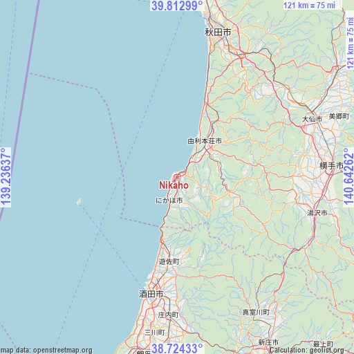
Nikaho GPS coordinates[2]
39° 16' 14.772" North, 139° 56' 22.164" East
| Map corner | latitude | longitude |
|---|---|---|
| Upper-left | 39.81299°, | 139.23637° |
| Center: | 39.27077°, | 139.93949° |
| Lower-right: | 38.72433°, | 140.64262° |
| Map W x H: | 121×121 km | = 75.2×75.2mi |
| max Lat: | 45.40944° ⇑8.8% North |
| Nikaho: | 39.27077° |
| min Lat: | ⇓91.2% South 24.34478° |
| min Long | Nikaho | max Long |
| 123° | 139.93949° | 145.575° |
| W 77.2%⇐ | ⇒22.8% E |
Elevation
Elevation of Nikaho is 47 m = 154 ft, and this is 37.6 m = 123 ft below average elevation for this country.
| Max E: |
1086 m = 3563 ft | 39.2% |
| Avg. | 84.6 m = 278 ft | |
| Nikaho | 47 m = 154 ft | |
Min E: |
-2 m = -7 ft | 60.8% |
See also: Japan elevation on elevation.city.
Geographical zone
Nikaho is located in North temperate zone (between Tropic of Cancer and the Arctic Circle). Distance of this Northern Tropic circle is 1760.6 km =1094 mi to South.| Distance of | km | miles | from Nikaho |
|---|---|---|---|
| North Pole | 5640.6 | 3504.9 | to North |
| Arctic Circle | 3034.7 | 1885.7 | to North |
| Tropic Cancer | 1760.6 | 1094 | to South |
| Equator | 4366.5 | 2713.2 | to South |


Nearby cities:
15 places around Nikaho: (largest is in red/bold)
• Akita
51.9 km =32.2 mi,  17°
17°
• Daisen
50.9 km =31.6 mi,  68°
68°
• Kakunodatemachi
64.5 km =40.1 mi,  56°
56°
• Katagami
67.8 km =42.1 mi,  4°
4°
• Obanazawa
84.3 km =52.4 mi,  151°
151°
• Oga
67.2 km =41.8 mi,  353°
353°
• Sakata
40 km =24.9 mi,  190°
190°
• Shinjō
64.9 km =40.3 mi, 151°
• Tennō
70 km =43.5 mi, 1°
• Tsuruoka
61.9 km =38.5 mi, 189°
• Yokote
52.8 km =32.8 mi,  84°
84°
• Yurihonjō
16.7 km =10.4 mi,  37°
37°
• Yuza
28.4 km =17.6 mi,  181°
181°
• Yuzawa
49.7 km =30.9 mi,  103°
103°
• Ōmagari
50.8 km =31.6 mi, 66°
Sources, notices
• [Note1] Compared only with cities in Japan existing in our database
• [Src1] Map data: © OpenStreetMap contributors (CC-BY-SA)
• [Src2] Other city data from geonames.org with taken over terms of usage.
• [Src3] Geographical zone / Annual Mean Temperature by Robert A. Rohde @ Wikipedia
