Gotō geodata
Gotō (Nagasaki) is a seat of a second-order administrative division; located in Japan in Asia/Tokyo (GMT+9) time zone. In our database, there are 767 cities with bigger population. Compared to other cities in Japan, 92.9% of cities are located further ↑North; 98.4% of cities are located further →East and 60.4% of cities have lower elevation than Gotō. Note1


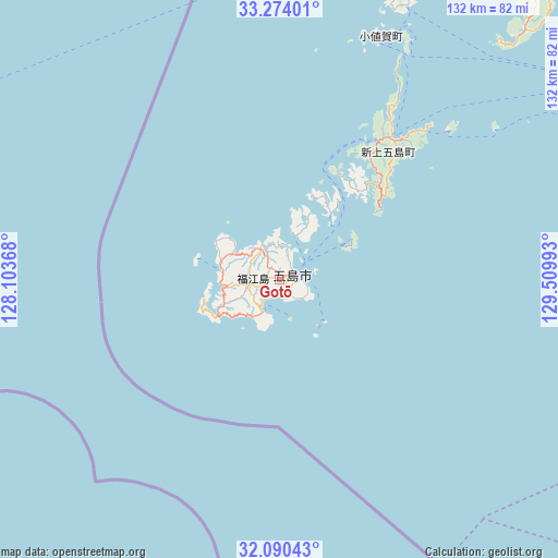
Gotō GPS coordinates[2]
32° 41' 3.048" North, 128° 48' 24.48" East
| Map corner | latitude | longitude |
|---|---|---|
| Upper-left | 33.27401°, | 128.10368° |
| Center: | 32.68418°, | 128.8068° |
| Lower-right: | 32.09043°, | 129.50993° |
| Map W x H: | 131.6×131.6 km | = 81.8×81.8mi |
| max Lat: | 45.40944° ⇑92.9% North |
| Gotō: | 32.68418° |
| min Lat: | ⇓7.1% South 24.34478° |
| min Long | Gotō | max Long |
| 123° | 128.8068° | 145.575° |
| W 1.6%⇐ | ⇒98.4% E |
Elevation
Elevation of Gotō is 46 m = 151 ft, and this is 38.6 m = 127 ft below average elevation for this country.
| Max E: |
1086 m = 3563 ft | 39.6% |
| Avg. | 84.6 m = 278 ft | |
| Gotō | 46 m = 151 ft | |
Min E: |
-2 m = -7 ft | 60.4% |
See also: Japan elevation on elevation.city.
Geographical zone
Gotō is located in North temperate zone (between Tropic of Cancer and the Arctic Circle). Distance of this Northern Tropic circle is 1028.2 km =638.9 mi to South.| Distance of | km | miles | from Gotō |
|---|---|---|---|
| North Pole | 6372.9 | 3959.9 | to North |
| Arctic Circle | 3767 | 2340.7 | to North |
| Tropic Cancer | 1028.2 | 638.9 | to South |
| Equator | 3634.1 | 2258.1 | to South |


Nearby cities:
15 places around Gotō: (largest is in red/bold)
• Fukuechō
3.9 km =2.4 mi,  68°
68°
• Hirado
103.1 km =64.1 mi,  42°
42°
• Imari
121.4 km =75.4 mi,  56°
56°
• Imarichō-kō
119.6 km =74.3 mi, 56°
• Isahaya
116.9 km =72.6 mi,  81°
81°
• Matsuura
110.4 km =68.6 mi,  48°
48°
• Nagasaki
101 km =62.8 mi,  85°
85°
• Obita
101.7 km =63.2 mi, 81°
• Saikai
88.2 km =54.8 mi, 67°
• Sasebo
101.2 km =62.9 mi, 57°
• Takeo
125.9 km =78.2 mi, 63°
• Togitsu
98.9 km =61.5 mi, 80°
• Ureshinomachi-shimojuku
121.4 km =75.4 mi, 66°
• Ushibukamachi
126 km =78.3 mi,  115°
115°
• Ōmura
110.4 km =68.6 mi, 76°
Sources, notices
• [Note1] Compared only with cities in Japan existing in our database
• [Src1] Map data: © OpenStreetMap contributors (CC-BY-SA)
• [Src2] Other city data from geonames.org with taken over terms of usage.
• [Src3] Geographical zone / Annual Mean Temperature by Robert A. Rohde @ Wikipedia
