Hau-ri geodata
Hau-ri (Hamgyŏng-bukto) is a populated locality; located in North Korea in Asia/Pyongyang (GMT+9) time zone. With population of 13,581 people, there are 61 cities with bigger population in this country. Compared to other cities in North Korea, 65.9% of cities are located further ↓South; 72.5% of cities are located further ←West and 70.3% of cities have lower elevation than Hau-ri. Note1


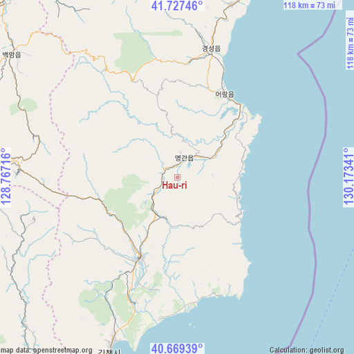
Hau-ri GPS coordinates[2]
41° 12' 2.016" North, 129° 28' 13.008" East
| Map corner | latitude | longitude |
|---|---|---|
| Upper-left | 41.72746°, | 128.76716° |
| Center: | 41.20056°, | 129.47028° |
| Lower-right: | 40.66939°, | 130.17341° |
| Map W x H: | 117.6×117.6 km | = 73.1×73.1mi |
| max Lat: | 42.95722° ⇑34.1% North |
| Hau-ri: | 41.20056° |
| min Lat: | ⇓65.9% South 37.90889° |
| min Long | Hau-ri | max Long |
| 124.39806° | 129.47028° | 130.49522° |
| W 72.5%⇐ | ⇒27.5% E |
Elevation
Elevation of Hau-ri is 124 m = 407 ft, and this is 7.7 m = 25 ft below average elevation for this country.
| Max E: |
1466 m = 4810 ft | 29.7% |
| Avg. | 131.7 m = 432 ft | |
| Hau-ri | 124 m = 407 ft | |
Min E: |
1 m = 3 ft | 70.3% |
See also: North Korea elevation on elevation.city.
Geographical zone
Hau-ri is located in North temperate zone (between Tropic of Cancer and the Arctic Circle). Distance of this Northern Tropic circle is 1975.2 km =1227.3 mi to South.| Distance of | km | miles | from Hau-ri |
|---|---|---|---|
| North Pole | 5426 | 3371.6 | to North |
| Arctic Circle | 2820.1 | 1752.3 | to North |
| Tropic Cancer | 1975.2 | 1227.3 | to South |
| Equator | 4581.1 | 2846.6 | to South |


Nearby cities:
15 places around Hau-ri: (largest is in red/bold)
• Chongjin
70.9 km =44.1 mi,  21°
21°
• Hoemul-li
30.8 km =19.1 mi,  32°
32°
• Hyesan
110.3 km =68.5 mi,  281°
281°
• Hyesan-dong
110.1 km =68.4 mi, 281°
• Kapsan-ŭp
99.3 km =61.7 mi,  262°
262°
• Kilju
28.9 km =18 mi,  204°
204°
• Kimch’aek-si
63.6 km =39.5 mi, 201°
• Komusan Il-tong
102.8 km =63.9 mi,  10°
10°
• Kyŏngsŏng
44.5 km =27.7 mi, 14°
• Musan-ŭp
116.1 km =72.1 mi,  349°
349°
• Namsan
115.6 km =71.8 mi, 351°
• Nanam
59.8 km =37.2 mi, 17°
• Puryŏng
97.7 km =60.7 mi, 11°
• Sŭngam-nodongjagu
54.7 km =34 mi, 17°
• Sŭngjibaegam
56.3 km =35 mi,  274°
274°
Sources, notices
• [Note1] Compared only with cities in North Korea existing in our database
• [Src1] Map data: © OpenStreetMap contributors (CC-BY-SA)
• [Src2] Other city data from geonames.org with taken over terms of usage.
• [Src3] Geographical zone / Annual Mean Temperature by Robert A. Rohde @ Wikipedia
