Taesal-li geodata
Taesal-li (Chungcheongnam-do) is a populated place; located in South Korea in Asia/Seoul (GMT+9) time zone. With population of 23,149 people, there are 118 cities with bigger population in this country. Compared to other cities in South Korea, 73.1% of cities are located further ↓South; 92.7% of cities are located further →East and 86% of cities have higher elevation than Taesal-li. Note1


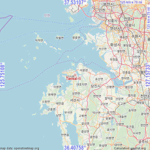
Taesal-li GPS coordinates[2]
36° 58' 17.04" North, 126° 27' 15.12" East
| Map corner | latitude | longitude |
|---|---|---|
| Upper-left | 37.53107°, | 125.75108° |
| Center: | 36.9714°, | 126.4542° |
| Lower-right: | 36.40758°, | 127.15733° |
| Map W x H: | 124.9×124.9 km | = 77.6×77.6mi |
| max Lat: | 38.37881° ⇑26.9% North |
| Taesal-li: | 36.9714° |
| min Lat: | ⇓73.1% South 33.25333° |
| min Long | Taesal-li | max Long |
| 126.10863° | 126.4542° | 129.55377° |
| W 7.3%⇐ | ⇒92.7% E |
Elevation
Elevation of Taesal-li is 13 m = 43 ft, and this is 57.4 m = 188 ft below average elevation for this country.
| Max E: |
691 m = 2267 ft | 86% |
| Avg. | 70.4 m = 231 ft | |
| Taesal-li | 13 m = 43 ft | |
Min E: |
1 m = 3 ft | 14% |
See also: South Korea elevation on elevation.city.
Geographical zone
Taesal-li is located in North temperate zone (between Tropic of Cancer and the Arctic Circle). Distance of this Northern Tropic circle is 1504.9 km =935.1 mi to South.| Distance of | km | miles | from Taesal-li |
|---|---|---|---|
| North Pole | 5896.2 | 3663.7 | to North |
| Arctic Circle | 3290.3 | 2044.5 | to North |
| Tropic Cancer | 1504.9 | 935.1 | to South |
| Equator | 4110.8 | 2554.3 | to South |


Nearby cities:
15 places around Taesal-li: (largest is in red/bold)
• Ansan-si
50.9 km =31.6 mi,  39°
39°
• Anyang-si
62.8 km =39 mi, 41°
• Asan
53.2 km =33.1 mi,  113°
113°
• Bucheon-si
65.5 km =40.7 mi,  26°
26°
• Bupyeong
63.9 km =39.7 mi,  21°
21°
• Cheonan
64.7 km =40.2 mi, 106°
• Hongseong
45.3 km =28.1 mi,  155°
155°
• Hwaseong-si
41.5 km =25.8 mi,  50°
50°
• Incheon
58.3 km =36.2 mi, 22°
• Osan
58.3 km =36.2 mi,  69°
69°
• Seonghwan
60.5 km =37.6 mi,  95°
95°
• Seosan
21.1 km =13.1 mi,  180°
180°
• Suwon
60.7 km =37.7 mi, 54°
• Tangjin
17.8 km =11.1 mi,  118°
118°
• Yesan
47.6 km =29.6 mi,  133°
133°
Sources, notices
• [Note1] Compared only with cities in South Korea existing in our database
• [Src1] Map data: © OpenStreetMap contributors (CC-BY-SA)
• [Src2] Other city data from geonames.org with taken over terms of usage.
• [Src3] Geographical zone / Annual Mean Temperature by Robert A. Rohde @ Wikipedia
