Seonghwan geodata
Seonghwan (Chungcheongnam-do) is a populated place; located in South Korea in Asia/Seoul (GMT+9) time zone. With population of 29,239 people, there are 106 cities with bigger population in this country. Compared to other cities in South Korea, 72.7% of cities are located further ↓South; 58% of cities are located further →East and 52.4% of cities have higher elevation than Seonghwan. Note1


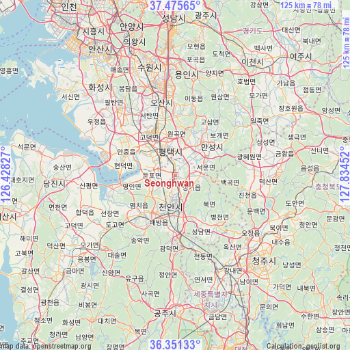
Seonghwan GPS coordinates[2]
36° 54' 56.016" North, 127° 7' 53.004" East
| Map corner | latitude | longitude |
|---|---|---|
| Upper-left | 37.47565°, | 126.42827° |
| Center: | 36.91556°, | 127.13139° |
| Lower-right: | 36.35133°, | 127.83452° |
| Map W x H: | 125×125 km | = 77.7×77.7mi |
| max Lat: | 38.37881° ⇑27.3% North |
| Seonghwan: | 36.91556° |
| min Lat: | ⇓72.7% South 33.25333° |
| min Long | Seonghwan | max Long |
| 126.10863° | 127.13139° | 129.55377° |
| W 42%⇐ | ⇒58% E |
Elevation
Elevation of Seonghwan is 38 m = 125 ft, and this is 32.4 m = 106 ft below average elevation for this country.
| Max E: |
691 m = 2267 ft | 52.4% |
| Avg. | 70.4 m = 231 ft | |
| Seonghwan | 38 m = 125 ft | |
Min E: |
1 m = 3 ft | 47.6% |
See also: South Korea elevation on elevation.city.
Geographical zone
Seonghwan is located in North temperate zone (between Tropic of Cancer and the Arctic Circle). Distance of this Northern Tropic circle is 1498.7 km =931.2 mi to South.| Distance of | km | miles | from Seonghwan |
|---|---|---|---|
| North Pole | 5902.4 | 3667.6 | to North |
| Arctic Circle | 3296.5 | 2048.3 | to North |
| Tropic Cancer | 1498.7 | 931.2 | to South |
| Equator | 4104.6 | 2550.5 | to South |


Nearby cities:
15 places around Seonghwan: (largest is in red/bold)
• Ansan-si
53 km =32.9 mi,  328°
328°
• Anseong
16.3 km =10.1 mi,  49°
49°
• Asan
18.5 km =11.5 mi,  217°
217°
• Cheonan
12.3 km =7.6 mi,  171°
171°
• Cheongju-si
44.5 km =27.7 mi,  134°
134°
• Chinch'ŏn
28.5 km =17.7 mi,  103°
103°
• Gongju
51.2 km =31.8 mi,  180°
180°
• Hwaseong-si
42.7 km =26.5 mi,  319°
319°
• Icheon-si
48.9 km =30.4 mi,  34°
34°
• Osan
26.9 km =16.7 mi,  348°
348°
• Pubal
53.5 km =33.2 mi,  38°
38°
• Sejong
38.7 km =24 mi,  158°
158°
• Suwon
43.1 km =26.8 mi, 345°
• Tangjin
44.7 km =27.8 mi,  266°
266°
• Yesan
36.9 km =22.9 mi, 224°
Sources, notices
• [Note1] Compared only with cities in South Korea existing in our database
• [Src1] Map data: © OpenStreetMap contributors (CC-BY-SA)
• [Src2] Other city data from geonames.org with taken over terms of usage.
• [Src3] Geographical zone / Annual Mean Temperature by Robert A. Rohde @ Wikipedia
