Steinheim geodata
Steinheim (Echternach) is a populated place; located in Luxembourg in Europe/Luxembourg (GMT+2) time zone. With population of 550 people, there are 144 cities with bigger population in this country. Compared to other cities in Luxembourg, 81.9% of cities are located further ↓South; 98.3% of cities are located further ←West and 95.5% of cities have higher elevation than Steinheim. Note1


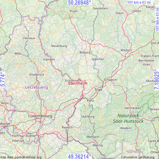
Steinheim GPS coordinates[2]
49° 49' 4.584" North, 6° 28' 37.668" East
| Map corner | latitude | longitude |
|---|---|---|
| Upper-left | 50.26948°, | 5.774° |
| Center: | 49.81794°, | 6.47713° |
| Lower-right: | 49.36214°, | 7.18025° |
| Map W x H: | 100.9×100.9 km | = 62.7×62.7mi |
| max Lat: | 50.13722° ⇑18.1% North |
| Steinheim: | 49.81794° |
| min Lat: | ⇓81.9% South 49.45964° |
| min Long | Steinheim | max Long |
| 5.76583° | 6.47713° | 6.50532° |
| W 98.3%⇐ | ⇒1.7% E |
Elevation
Elevation of Steinheim is 156 m = 512 ft, and this is 126 m = 413 ft below average elevation for this country.
| Max E: |
502 m = 1647 ft | 95.5% |
| Avg. | 282 m = 925 ft | |
| Steinheim | 156 m = 512 ft | |
Min E: |
143 m = 469 ft | 4.5% |
See also: Luxembourg elevation on elevation.city.
Geographical zone
Steinheim is located in North temperate zone (between Tropic of Cancer and the Arctic Circle). Distance of this North polar circle is 1861.9 km =1156.9 mi to North.| Distance of | km | miles | from Steinheim |
|---|---|---|---|
| North Pole | 4467.8 | 2776.2 | to North |
| Arctic Circle | 1861.9 | 1156.9 | to North |
| Tropic Cancer | 2933.3 | 1822.7 | to South |
| Equator | 5539.2 | 3441.9 | to South |


Nearby cities:
15 places around Steinheim: (largest is in red/bold)
• Beaufort
13.5 km =8.4 mi,  278°
278°
• Bech
10.9 km =6.8 mi,  228°
228°
• Berbourg
11.4 km =7.1 mi,  211°
211°
• Berdorf
9.2 km =5.7 mi,  271°
271°
• Biwer
14.6 km =9.1 mi, 211°
• Consdorf
10.7 km =6.6 mi,  246°
246°
• Echternach
4.3 km =2.7 mi,  261°
261°
• Grevenmacher
15.8 km =9.8 mi,  189°
189°
• Manternach
13.3 km =8.3 mi,  195°
195°
• Mertert
12.8 km =8 mi,  179°
179°
• Mompach
8 km =5 mi, 186°
• Rosport
2.5 km =1.6 mi,  126°
126°
• Waldbillig
14 km =8.7 mi, 260°
• Wasserbillig
11.5 km =7.1 mi,  172°
172°
• Wecker
15.2 km =9.4 mi, 205°
Sources, notices
• [Note1] Compared only with cities in Luxembourg existing in our database
• [Src1] Map data: © OpenStreetMap contributors (CC-BY-SA)
• [Src2] Other city data from geonames.org with taken over terms of usage.
• [Src3] Geographical zone / Annual Mean Temperature by Robert A. Rohde @ Wikipedia
