Itzig geodata
Itzig (Luxembourg) is a populated place; located in Luxembourg in Europe/Luxembourg (GMT+2) time zone. With population of 1,836 people, there are 41 cities with bigger population in this country. Compared to other cities in Luxembourg, 68.4% of cities are located further ↑North; 64.4% of cities are located further ←West and 79.7% of cities have lower elevation than Itzig. Note1


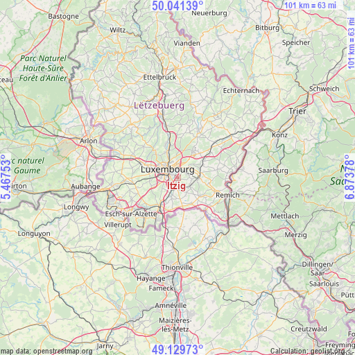
Itzig GPS coordinates[2]
49° 35' 15.684" North, 6° 10' 14.34" East
| Map corner | latitude | longitude |
|---|---|---|
| Upper-left | 50.04139°, | 5.46753° |
| Center: | 49.58769°, | 6.17065° |
| Lower-right: | 49.12973°, | 6.87378° |
| Map W x H: | 101.4×101.4 km | = 63×63mi |
| max Lat: | 50.13722° ⇑68.4% North |
| Itzig: | 49.58769° |
| min Lat: | ⇓31.6% South 49.45964° |
| min Long | Itzig | max Long |
| 5.76583° | 6.17065° | 6.50532° |
| W 64.4%⇐ | ⇒35.6% E |
Elevation
Elevation of Itzig is 327 m = 1073 ft, and this is 45 m = 148 ft above average elevation for this country.
| Max E: |
502 m = 1647 ft | 20.3% |
| Itzig | 327 m 1073 ft | |
| Avg. | 282 m = 925 ft | |
Min E: |
143 m = 469 ft | 79.7% |
See also: Luxembourg elevation on elevation.city.
Geographical zone
Itzig is located in North temperate zone (between Tropic of Cancer and the Arctic Circle). Distance of this North polar circle is 1887.5 km =1172.8 mi to North.| Distance of | km | miles | from Itzig |
|---|---|---|---|
| North Pole | 4493.4 | 2792.1 | to North |
| Arctic Circle | 1887.5 | 1172.8 | to North |
| Tropic Cancer | 2907.7 | 1806.8 | to South |
| Equator | 5513.6 | 3426 | to South |


Nearby cities:
15 places around Itzig: (largest is in red/bold)
• Alzingen
2.6 km =1.6 mi,  191°
191°
• Berchem
6.1 km =3.8 mi,  209°
209°
• Bivange
5.4 km =3.4 mi, 206°
• Contern
4.1 km =2.5 mi,  98°
98°
• Crauthem
6 km =3.7 mi,  196°
196°
• Fentange
3 km =1.9 mi, 203°
• Hesperange
2.6 km =1.6 mi, 212°
• Kirchberg
4.3 km =2.7 mi,  339°
339°
• Luxembourg
4 km =2.5 mi,  312°
312°
• Moutfort
6.1 km =3.8 mi,  92°
92°
• Oetrange
6.5 km =4 mi,  81°
81°
• Roeser
5.9 km =3.7 mi, 197°
• Sandweiler
4.8 km =3 mi,  51°
51°
• Schrassig
6.8 km =4.2 mi,  68°
68°
• Weiler-la-Tour
5.6 km =3.5 mi,  157°
157°
Sources, notices
• [Note1] Compared only with cities in Luxembourg existing in our database
• [Src1] Map data: © OpenStreetMap contributors (CC-BY-SA)
• [Src2] Other city data from geonames.org with taken over terms of usage.
• [Src3] Geographical zone / Annual Mean Temperature by Robert A. Rohde @ Wikipedia
