Beroroha geodata
Beroroha (Atsimo-Andrefana) is a populated place; located in Madagascar in Indian/Antananarivo (GMT+3) time zone. With population of 18,632 people, there are 70 cities with bigger population in this country. Compared to other cities in Madagascar, 73.2% of cities are located further ↑North; 87.8% of cities are located further →East and 52.8% of cities have higher elevation than Beroroha. Note1
Administrative division(s):
- Level 1: Atsimo-Andrefana
- Level 2: Beroroha District
- Level 3: Beroroha
- Level 4: Beroroha Ville I


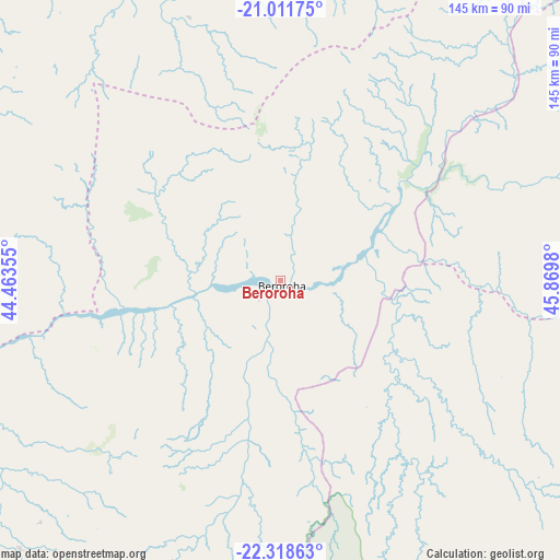
Beroroha GPS coordinates[2]
21° 40' 0.012" South, 45° 10' 0.012" East
| Map corner | latitude | longitude |
|---|---|---|
| Upper-left | -21.01175°, | 44.46355° |
| Center: | -21.66667°, | 45.16667° |
| Lower-right: | -22.31863°, | 45.8698° |
| Map W x H: | 145.3×145.3 km | = 90.3×90.3mi |
| max Lat: | -12.31732° ⇑73.2% North |
| Beroroha: | -21.66667° |
| min Lat: | ⇓26.8% South -25.3° |
| min Long | Beroroha | max Long |
| 43.65° | 45.16667° | 50.27876° |
| W 12.2%⇐ | ⇒87.8% E |
Elevation
Elevation of Beroroha is 205 m = 673 ft, and this is 352.4 m = 1156 ft below average elevation for this country.
| Max E: |
1763 m = 5784 ft | 52.8% |
| Avg. | 557.4 m = 1829 ft | |
| Beroroha | 205 m = 673 ft | |
Min E: |
1 m = 3 ft | 47.2% |
See also: Madagascar elevation on elevation.city.
Geographical zone
Beroroha is located in South Torrid zone (between Equator and Tropic of Capricorn). Distance of this Southern Tropic circle is 196.8 km =122.3 mi to South.| Distance of | km | miles | from Beroroha |
|---|---|---|---|
| Equator | 2409.1 | 1496.9 | to North |
| Tropic Capricorn | 196.8 | 122.3 | to South |
| Antarctic Circle | 4992.1 | 3101.9 | to South |
| South Pole | 7598 | 4721.2 | to South |


Nearby cities:
15 places around Beroroha: (largest is in red/bold)
• Ambalasoa
182.6 km =113.5 mi,  152°
152°
• Ambalavao
183.4 km =114 mi,  95°
95°
• Ambatofinandrahana
210.2 km =130.6 mi,  53°
53°
• Ankazoabo
95.9 km =59.6 mi,  224°
224°
• Behompy
222 km =137.9 mi, 217°
• Belo sur Tsiribihina
228.2 km =141.8 mi,  343°
343°
• Fandrandava
216 km =134.2 mi,  85°
85°
• Fianarantsoa
199.9 km =124.2 mi,  83°
83°
• Ihosy
128.3 km =79.7 mi,  129°
129°
• Ikalamavony
157.5 km =97.9 mi,  68°
68°
• Ikongo
235.3 km =146.2 mi, 95°
• Manja
90 km =55.9 mi,  286°
286°
• Morondava
176.8 km =109.9 mi,  330°
330°
• Ranohira
93.9 km =58.3 mi,  165°
165°
• Sakaraha
151.8 km =94.3 mi,  205°
205°
Sources, notices
• [Note1] Compared only with cities in Madagascar existing in our database
• [Src1] Map data: © OpenStreetMap contributors (CC-BY-SA)
• [Src2] Other city data from geonames.org with taken over terms of usage.
• [Src3] Geographical zone / Annual Mean Temperature by Robert A. Rohde @ Wikipedia
