Likiep geodata
Likiep (Likiep Atoll) is a seat of a first-order administrative division; located in Marshall Islands in Pacific/Majuro (GMT+12) time zone. With population of 482 people, there are 9 cities with bigger population in this country. Compared to other cities in Marshall Islands, 75% of cities are located further ↓South; 54.2% of cities are located further ←West and 83.3% of cities have higher elevation than Likiep. Note1


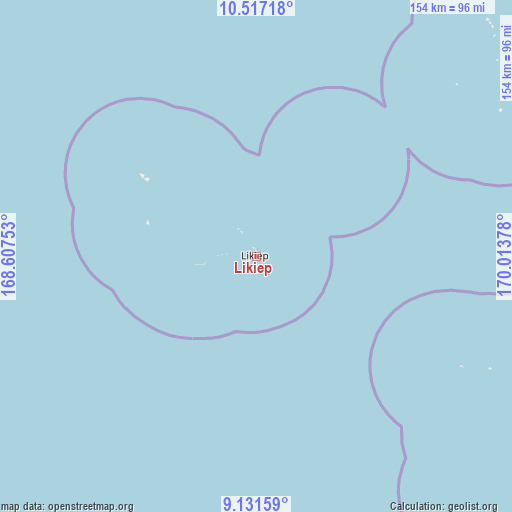
Likiep GPS coordinates[2]
9° 49' 30.396" North, 169° 18' 38.34" East
| Map corner | latitude | longitude |
|---|---|---|
| Upper-left | 10.51718°, | 168.60753° |
| Center: | 9.82511°, | 169.31065° |
| Lower-right: | 9.13159°, | 170.01378° |
| Map W x H: | 154.1×154.1 km | = 95.8×95.8mi |
| max Lat: | 11.34735° ⇑25% North |
| Likiep: | 9.82511° |
| min Lat: | ⇓75% South 4.58199° |
| min Long | Likiep | max Long |
| 162.33733° | 169.31065° | 171.73502° |
| W 54.2%⇐ | ⇒45.8% E |
Elevation
Elevation of Likiep is 7 m = 23 ft, and this is 2.7 m = 9 ft below average elevation for this country.
| Max E: |
16 m = 52 ft | 83.3% |
| Avg. | 9.7 m = 32 ft | |
| Likiep | 7 m = 23 ft | |
Min E: |
5 m = 16 ft | 16.7% |
See also: Marshall Islands elevation on elevation.city.
Geographical zone
Likiep is located in North Torrid zone (between Equator and Tropic of Cancer). Distance of Equator is 1092.4 km =678.8 mi to South.| Distance of | km | miles | from Likiep |
|---|---|---|---|
| North Pole | 8914.6 | 5539.3 | to North |
| Arctic Circle | 6308.7 | 3920 | to North |
| Tropic Cancer | 1513.5 | 940.4 | to North |
| Equator | 1092.4 | 678.8 | to South |


Nearby cities:
15 places around Likiep: (largest is in red/bold)
• Ailuk
85.4 km =53.1 mi,  59°
59°
• Airuk
288.4 km =179.2 mi,  190°
190°
• Aur
276.3 km =171.7 mi,  132°
132°
• Ebaye
208.3 km =129.4 mi,  235°
235°
• Jabat
233.7 km =145.2 mi, 189°
• Lae
349 km =216.9 mi,  253°
253°
• Lib
270.9 km =168.3 mi,  231°
231°
• Loen
258.5 km =160.6 mi,  207°
207°
• Majuro
379.9 km =236.1 mi,  143°
143°
• Mejit
177.3 km =110.2 mi,  73°
73°
• Rongelap
303.2 km =188.4 mi,  299°
299°
• Taroa
244.4 km =151.9 mi,  120°
120°
• Utrik
166.6 km =103.5 mi,  20°
20°
• Wotho
363.4 km =225.8 mi,  275°
275°
• Wotje
109.6 km =68.1 mi,  112°
112°
Sources, notices
• [Note1] Compared only with cities in Marshall Islands existing in our database
• [Src1] Map data: © OpenStreetMap contributors (CC-BY-SA)
• [Src2] Other city data from geonames.org with taken over terms of usage.
• [Src3] Geographical zone / Annual Mean Temperature by Robert A. Rohde @ Wikipedia
