Noyon Suma geodata
Noyon Suma (Ömnögovĭ) is a seat of a second-order administrative division; located in Mongolia in Asia/Ulaanbaatar (GMT+8) time zone. In our database, there are 33 cities with bigger population. Compared to other cities in Mongolia, 99.1% of cities are located further ↑North; 53.7% of cities are located further →East and 85% of cities have lower elevation than Noyon Suma. Note1


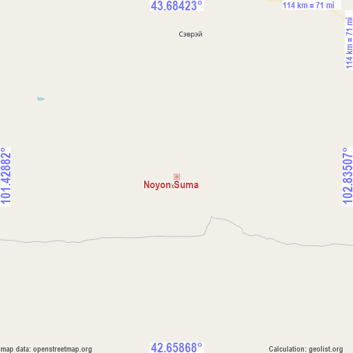
Noyon Suma GPS coordinates[2]
43° 10' 24.996" North, 102° 7' 54.984" East
| Map corner | latitude | longitude |
|---|---|---|
| Upper-left | 43.68423°, | 101.42882° |
| Center: | 43.17361°, | 102.13194° |
| Lower-right: | 42.65868°, | 102.83507° |
| Map W x H: | 114×114 km | = 70.8×70.8mi |
| max Lat: | 51.50725° ⇑99.1% North |
| Noyon Suma: | 43.17361° |
| min Lat: | ⇓0.9% South 42.84199° |
| min Long | Noyon Suma | max Long |
| 89.14358° | 102.13194° | 118.51014° |
| W 46.3%⇐ | ⇒53.7% E |
Elevation
Elevation of Noyon Suma is 1887 m = 6191 ft, and this is 470.5 m = 1544 ft above average elevation for this country.
| Max E: |
2800 m = 9186 ft | 15% |
| Noyon Suma | 1887 m 6191 ft | |
| Avg. | 1416.5 m = 4647 ft | |
Min E: |
619 m = 2031 ft | 85% |
See also: Mongolia elevation on elevation.city.
Geographical zone
Noyon Suma is located in North temperate zone (between Tropic of Cancer and the Arctic Circle). Distance of this Northern Tropic circle is 2194.5 km =1363.6 mi to South.| Distance of | km | miles | from Noyon Suma |
|---|---|---|---|
| North Pole | 5206.6 | 3235.2 | to North |
| Arctic Circle | 2600.7 | 1616 | to North |
| Tropic Cancer | 2194.5 | 1363.6 | to South |
| Equator | 4800.5 | 2982.9 | to South |


Nearby cities:
15 places around Noyon Suma: (largest is in red/bold)
• Bayan Uula Sumu
229.2 km =142.4 mi,  345°
345°
• Bulgan
153.1 km =95.1 mi,  47°
47°
• Dalandzadgad
190.5 km =118.4 mi,  76°
76°
• Dalay
116.4 km =72.3 mi,  73°
73°
• Hatansuudal
185 km =115 mi,  325°
325°
• Horiult
250.2 km =155.5 mi, 334°
• Hovd
166.4 km =103.4 mi,  1°
1°
• Hovd
167.2 km =103.9 mi,  6°
6°
• Sangiyn Dalay
247.2 km =153.6 mi,  98°
98°
• Saynshand
59 km =36.7 mi,  33°
33°
• Sharhulsan
224.8 km =139.7 mi,  43°
43°
• Tsoohor
158 km =98.2 mi, 84°
• Urt
88.1 km =54.7 mi,  274°
274°
• Ögöömör
201.3 km =125.1 mi, 70°
• Örgön
222.7 km =138.4 mi,  321°
321°
Sources, notices
• [Note1] Compared only with cities in Mongolia existing in our database
• [Src1] Map data: © OpenStreetMap contributors (CC-BY-SA)
• [Src2] Other city data from geonames.org with taken over terms of usage.
• [Src3] Geographical zone / Annual Mean Temperature by Robert A. Rohde @ Wikipedia
