Bayan geodata
Bayan (East Gobi Aymag) is a seat of a second-order administrative division; located in Mongolia in Asia/Ulaanbaatar (GMT+8) time zone. In our database, there are 33 cities with bigger population. Compared to other cities in Mongolia, 75.5% of cities are located further ↑North; 86.5% of cities are located further ←West and 70.9% of cities have higher elevation than Bayan. Note1


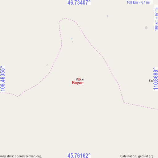
Bayan GPS coordinates[2]
46° 15' 0" North, 110° 10' 0.012" East
| Map corner | latitude | longitude |
|---|---|---|
| Upper-left | 46.73407°, | 109.46355° |
| Center: | 46.25°, | 110.16667° |
| Lower-right: | 45.76162°, | 110.8698° |
| Map W x H: | 108.1×108.1 km | = 67.2×67.2mi |
| max Lat: | 51.50725° ⇑75.5% North |
| Bayan: | 46.25° |
| min Lat: | ⇓24.5% South 42.84199° |
| min Long | Bayan | max Long |
| 89.14358° | 110.16667° | 118.51014° |
| W 86.5%⇐ | ⇒13.5% E |
Elevation
Elevation of Bayan is 1163 m = 3816 ft, and this is 253.5 m = 832 ft below average elevation for this country.
| Max E: |
2800 m = 9186 ft | 70.9% |
| Avg. | 1416.5 m = 4647 ft | |
| Bayan | 1163 m = 3816 ft | |
Min E: |
619 m = 2031 ft | 29.1% |
See also: Mongolia elevation on elevation.city.
Geographical zone
Bayan is located in North temperate zone (between Tropic of Cancer and the Arctic Circle). Distance of this North polar circle is 2258.7 km =1403.5 mi to North.| Distance of | km | miles | from Bayan |
|---|---|---|---|
| North Pole | 4864.5 | 3022.7 | to North |
| Arctic Circle | 2258.7 | 1403.5 | to North |
| Tropic Cancer | 2536.6 | 1576.2 | to South |
| Equator | 5142.5 | 3195.4 | to South |


Nearby cities:
15 places around Bayan: (largest is in red/bold)
• Avraga
127.3 km =79.1 mi,  324°
324°
• Bayan
113.3 km =70.4 mi,  25°
25°
• Buyant
51.3 km =31.9 mi,  90°
90°
• Chandmanĭ
83 km =51.6 mi,  163°
163°
• Choyr
139.2 km =86.5 mi,  275°
275°
• Darhan
70.5 km =43.8 mi,  305°
305°
• Herlen
120.7 km =75 mi,  14°
14°
• Hongor
94.2 km =58.5 mi,  122°
122°
• Mörön
126.4 km =78.5 mi, 5°
• Sergelen
127 km =78.9 mi, 92°
• Shiveegovĭ
120.1 km =74.6 mi,  262°
262°
• Tsagaandörvölj
82.5 km =51.3 mi,  232°
232°
• Tsomog
92.6 km =57.5 mi,  246°
246°
• Ulaan-Ereg
79 km =49.1 mi,  336°
336°
• Undurkhaan
124.6 km =77.4 mi,  17°
17°
Sources, notices
• [Note1] Compared only with cities in Mongolia existing in our database
• [Src1] Map data: © OpenStreetMap contributors (CC-BY-SA)
• [Src2] Other city data from geonames.org with taken over terms of usage.
• [Src3] Geographical zone / Annual Mean Temperature by Robert A. Rohde @ Wikipedia
