Bayanhoshuu geodata
Bayanhoshuu (Hovd) is a seat of a second-order administrative division; located in Mongolia in Asia/Hovd (GMT+7) time zone. In our database, there are 33 cities with bigger population. Compared to other cities in Mongolia, 62.3% of cities are located further ↓South; 92.6% of cities are located further →East and 69.9% of cities have higher elevation than Bayanhoshuu. Note1


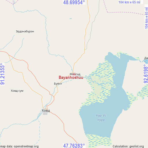
Bayanhoshuu GPS coordinates[2]
48° 13' 59.988" North, 91° 55' 0.012" East
| Map corner | latitude | longitude |
|---|---|---|
| Upper-left | 48.69954°, | 91.21355° |
| Center: | 48.23333°, | 91.91667° |
| Lower-right: | 47.76283°, | 92.6198° |
| Map W x H: | 104.2×104.1 km | = 64.7×64.7mi |
| max Lat: | 51.50725° ⇑37.7% North |
| Bayanhoshuu: | 48.23333° |
| min Lat: | ⇓62.3% South 42.84199° |
| min Long | Bayanhoshuu | max Long |
| 89.14358° | 91.91667° | 118.51014° |
| W 7.4%⇐ | ⇒92.6% E |
Elevation
Elevation of Bayanhoshuu is 1176 m = 3858 ft, and this is 240.5 m = 789 ft below average elevation for this country.
| Max E: |
2800 m = 9186 ft | 69.9% |
| Avg. | 1416.5 m = 4647 ft | |
| Bayanhoshuu | 1176 m = 3858 ft | |
Min E: |
619 m = 2031 ft | 30.1% |
See also: Mongolia elevation on elevation.city.
Geographical zone
Bayanhoshuu is located in North temperate zone (between Tropic of Cancer and the Arctic Circle). Distance of this North polar circle is 2038.1 km =1266.4 mi to North.| Distance of | km | miles | from Bayanhoshuu |
|---|---|---|---|
| North Pole | 4644 | 2885.6 | to North |
| Arctic Circle | 2038.1 | 1266.4 | to North |
| Tropic Cancer | 2757.1 | 1713.2 | to South |
| Equator | 5363 | 3332.4 | to South |


Nearby cities:
15 places around Bayanhoshuu: (largest is in red/bold)
• Altanteel
142.8 km =88.7 mi,  150°
150°
• Buyant
20 km =12.4 mi,  201°
201°
• Duut
82.4 km =51.2 mi,  194°
194°
• Har-Us
45.3 km =28.1 mi,  307°
307°
• Har-Us
89.4 km =55.6 mi,  5°
5°
• Höhtolgoy
137.8 km =85.6 mi,  327°
327°
• Khovd
32.5 km =20.2 mi,  218°
218°
• Namir
98.2 km =61 mi,  351°
351°
• Naranbulag
134.7 km =83.7 mi,  20°
20°
• Rashaant
95.9 km =59.6 mi,  237°
237°
• Sharbulag
108.6 km =67.5 mi,  53°
53°
• Tolbo
122.5 km =76.1 mi,  279°
279°
• Tsagaantüngi
140.9 km =87.6 mi, 310°
• Tögrög
92.9 km =57.7 mi,  165°
165°
• Urdgol
70.4 km =43.7 mi,  129°
129°
Sources, notices
• [Note1] Compared only with cities in Mongolia existing in our database
• [Src1] Map data: © OpenStreetMap contributors (CC-BY-SA)
• [Src2] Other city data from geonames.org with taken over terms of usage.
• [Src3] Geographical zone / Annual Mean Temperature by Robert A. Rohde @ Wikipedia
