Bayangol geodata
Bayangol (Govĭ-Altay) is a seat of a second-order administrative division; located in Mongolia in Asia/Hovd (GMT+7) time zone. In our database, there are 33 cities with bigger population. Compared to other cities in Mongolia, 85% of cities are located further ↑North; 85.6% of cities are located further →East and 94.2% of cities have lower elevation than Bayangol. Note1


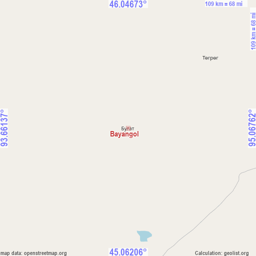
Bayangol GPS coordinates[2]
45° 33' 23.58" North, 94° 21' 52.164" East
| Map corner | latitude | longitude |
|---|---|---|
| Upper-left | 46.04673°, | 93.66137° |
| Center: | 45.55655°, | 94.36449° |
| Lower-right: | 45.06206°, | 95.06762° |
| Map W x H: | 109.5×109.5 km | = 68×68mi |
| max Lat: | 51.50725° ⇑85% North |
| Bayangol: | 45.55655° |
| min Lat: | ⇓15% South 42.84199° |
| min Long | Bayangol | max Long |
| 89.14358° | 94.36449° | 118.51014° |
| W 14.4%⇐ | ⇒85.6% E |
Elevation
Elevation of Bayangol is 2136 m = 7008 ft, and this is 719.5 m = 2361 ft above average elevation for this country.
| Max E: |
2800 m = 9186 ft | 5.8% |
| Bayangol | 2136 m 7008 ft | |
| Avg. | 1416.5 m = 4647 ft | |
Min E: |
619 m = 2031 ft | 94.2% |
See also: Mongolia elevation on elevation.city.
Geographical zone
Bayangol is located in North temperate zone (between Tropic of Cancer and the Arctic Circle). Distance of this North polar circle is 2335.8 km =1451.4 mi to North.| Distance of | km | miles | from Bayangol |
|---|---|---|---|
| North Pole | 4941.6 | 3070.6 | to North |
| Arctic Circle | 2335.8 | 1451.4 | to North |
| Tropic Cancer | 2459.5 | 1528.3 | to South |
| Equator | 5065.4 | 3147.5 | to South |


Nearby cities:
15 places around Bayangol: (largest is in red/bold)
• Altai
172.2 km =107 mi,  58°
58°
• Altay sumu
163.9 km =101.8 mi,  279°
279°
• Bayan
172.1 km =106.9 mi,  21°
21°
• Bayan-Ovoo
113.1 km =70.3 mi,  157°
157°
• Darvi
101.2 km =62.9 mi,  349°
349°
• Darvi
163.9 km =101.8 mi,  339°
339°
• Dzüyl
90.7 km =56.4 mi, 336°
• Haliun
145.5 km =90.4 mi,  73°
73°
• Sharga
104 km =64.6 mi,  42°
42°
• Tahilt
179.5 km =111.5 mi,  97°
97°
• Tseel
116.9 km =72.6 mi,  89°
89°
• Tsetsegnuur
143.6 km =89.2 mi,  323°
323°
• Tögrög
46.4 km =28.8 mi,  49°
49°
• Ulaantolgoy
174.8 km =108.6 mi, 315°
• Uyenchi Somon
190.1 km =118.1 mi,  286°
286°
Sources, notices
• [Note1] Compared only with cities in Mongolia existing in our database
• [Src1] Map data: © OpenStreetMap contributors (CC-BY-SA)
• [Src2] Other city data from geonames.org with taken over terms of usage.
• [Src3] Geographical zone / Annual Mean Temperature by Robert A. Rohde @ Wikipedia
