Ulaantolgoy geodata
Ulaantolgoy (Hovd) is a seat of a second-order administrative division; located in Mongolia in Asia/Hovd (GMT+7) time zone. In our database, there are 33 cities with bigger population. Compared to other cities in Mongolia, 67.5% of cities are located further ↑North; 89.6% of cities are located further →East and 90.8% of cities have lower elevation than Ulaantolgoy. Note1


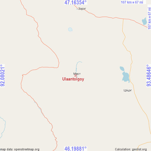
Ulaantolgoy GPS coordinates[2]
46° 40' 59.988" North, 92° 46' 59.988" East
| Map corner | latitude | longitude |
|---|---|---|
| Upper-left | 47.16354°, | 92.08021° |
| Center: | 46.68333°, | 92.78333° |
| Lower-right: | 46.19881°, | 93.48646° |
| Map W x H: | 107.3×107.3 km | = 66.7×66.7mi |
| max Lat: | 51.50725° ⇑67.5% North |
| Ulaantolgoy: | 46.68333° |
| min Lat: | ⇓32.5% South 42.84199° |
| min Long | Ulaantolgoy | max Long |
| 89.14358° | 92.78333° | 118.51014° |
| W 10.4%⇐ | ⇒89.6% E |
Elevation
Elevation of Ulaantolgoy is 2033 m = 6670 ft, and this is 616.5 m = 2023 ft above average elevation for this country.
| Max E: |
2800 m = 9186 ft | 9.2% |
| Ulaantolgoy | 2033 m 6670 ft | |
| Avg. | 1416.5 m = 4647 ft | |
Min E: |
619 m = 2031 ft | 90.8% |
See also: Mongolia elevation on elevation.city.
Geographical zone
Ulaantolgoy is located in North temperate zone (between Tropic of Cancer and the Arctic Circle). Distance of this North polar circle is 2210.5 km =1373.5 mi to North.| Distance of | km | miles | from Ulaantolgoy |
|---|---|---|---|
| North Pole | 4816.4 | 2992.8 | to North |
| Arctic Circle | 2210.5 | 1373.5 | to North |
| Tropic Cancer | 2584.8 | 1606.1 | to South |
| Equator | 5190.7 | 3225.4 | to South |


Nearby cities:
15 places around Ulaantolgoy: (largest is in red/bold)
• Altanteel
47.7 km =29.6 mi,  5°
5°
• Altay sumu
105.5 km =65.6 mi,  201°
201°
• Buyant
170.2 km =105.8 mi,  334°
334°
• Bürenhayrhan
115.3 km =71.6 mi,  235°
235°
• Darvi
69.4 km =43.1 mi,  66°
66°
• Darvi
105.2 km =65.4 mi,  104°
104°
• Duut
127.1 km =79 mi,  316°
316°
• Dzüyl
95.5 km =59.3 mi,  116°
116°
• Jargalant
131.8 km =81.9 mi,  281°
281°
• Sayn-Ust
151.8 km =94.3 mi,  60°
60°
• Tsenher
57 km =35.4 mi,  297°
297°
• Tsetsegnuur
38 km =23.6 mi, 104°
• Tögrög
92.6 km =57.5 mi, 332°
• Urdgol
128.3 km =79.7 mi,  355°
355°
• Uyenchi Somon
91.8 km =57 mi,  219°
219°
Sources, notices
• [Note1] Compared only with cities in Mongolia existing in our database
• [Src1] Map data: © OpenStreetMap contributors (CC-BY-SA)
• [Src2] Other city data from geonames.org with taken over terms of usage.
• [Src3] Geographical zone / Annual Mean Temperature by Robert A. Rohde @ Wikipedia
