Texcapa geodata
Texcapa (Hidalgo) is a populated place; located in Mexico in America/Mexico_City (GMT-6) time zone. With population of 1,926 people, there are 4517 cities with bigger population in this country. Compared to other cities in Mexico, 77.7% of cities are located further ↓South; 52.7% of cities are located further ←West and 58.9% of cities have higher elevation than Texcapa. Note1


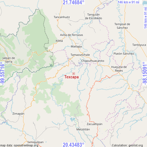
Texcapa GPS coordinates[2]
21° 5' 32.208" North, 98° 51' 14.508" West
| Map corner | latitude | longitude |
|---|---|---|
| Upper-left | 21.74684°, | -99.55716° |
| Center: | 21.09228°, | -98.85403° |
| Lower-right: | 20.43483°, | -98.15091° |
| Map W x H: | 145.9×145.9 km | = 90.7×90.7mi |
| max Lat: | 32.7° ⇑22.3% North |
| Texcapa: | 21.09228° |
| min Lat: | ⇓77.7% South 14.53588° |
| min Long | Texcapa | max Long |
| -117.105° | -98.85403° | -86.73105° |
| W 52.7%⇐ | ⇒47.3% E |
Elevation
Elevation of Texcapa is 1056 m = 3465 ft, and this is 197.7 m = 649 ft below average elevation for this country.
| Max E: |
3497 m = 11473 ft | 58.9% |
| Avg. | 1253.7 m = 4113 ft | |
| Texcapa | 1056 m = 3465 ft | |
Min E: |
-1 m = -3 ft | 41.1% |
See also: Mexico elevation on elevation.city.
Geographical zone
Texcapa is located in North Torrid zone (between Equator and Tropic of Cancer). Distance of this Northern Tropic circle is 260.7 km =162 mi to North.| Distance of | km | miles | from Texcapa |
|---|---|---|---|
| North Pole | 7661.8 | 4760.8 | to North |
| Arctic Circle | 5055.9 | 3141.6 | to North |
| Tropic Cancer | 260.7 | 162 | to North |
| Equator | 2345.2 | 1457.2 | to South |


Nearby cities:
15 places around Texcapa: (largest is in red/bold)
• Acoyotla
8.8 km =5.5 mi,  65°
65°
• Acuimantla
8.7 km =5.4 mi,  136°
136°
• Ahuatetla
8.3 km =5.2 mi,  228°
228°
• Amola de Ocampo
4.9 km =3 mi,  242°
242°
• Cahuazas
5.4 km =3.4 mi,  359°
359°
• Cahuazaz de Morelos (Rancho Alegre)
6.9 km =4.3 mi,  13°
13°
• Chahuatitla
3.2 km =2 mi,  21°
21°
• Cuatolol
4.2 km =2.6 mi,  44°
44°
• La Reforma
2.7 km =1.7 mi,  219°
219°
• Neblinas
7.7 km =4.8 mi,  289°
289°
• San Juan Ahuehueco
7.9 km =4.9 mi, 224°
• Tepehuacán de Guerrero
8.9 km =5.5 mi,  171°
171°
• Teyahuala
4.8 km =3 mi, 168°
• Xilitla
5.4 km =3.4 mi,  116°
116°
• Zacualtipanito
8.9 km =5.5 mi, 39°
Sources, notices
• [Note1] Compared only with cities in Mexico existing in our database
• [Src1] Map data: © OpenStreetMap contributors (CC-BY-SA)
• [Src2] Other city data from geonames.org with taken over terms of usage.
• [Src3] Geographical zone / Annual Mean Temperature by Robert A. Rohde @ Wikipedia
