San Ambrosio geodata
San Ambrosio (Hidalgo) is a populated place; located in Mexico in America/Mexico_City (GMT-6) time zone. With population of 951 people, there are 9161 cities with bigger population in this country. Compared to other cities in Mexico, 68.4% of cities are located further ↓South; 63.4% of cities are located further ←West and 64.5% of cities have higher elevation than San Ambrosio. Note1


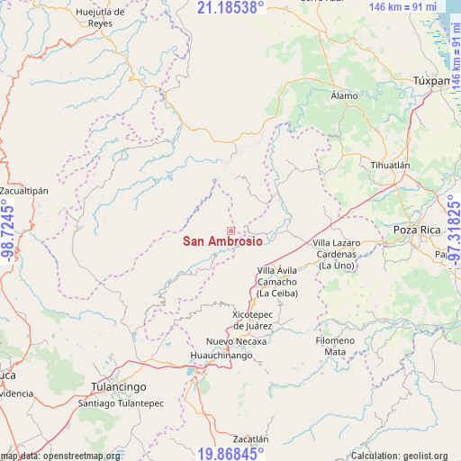
San Ambrosio GPS coordinates[2]
20° 31' 41.988" North, 98° 1' 16.932" West
| Map corner | latitude | longitude |
|---|---|---|
| Upper-left | 21.18538°, | -98.7245° |
| Center: | 20.52833°, | -98.02137° |
| Lower-right: | 19.86845°, | -97.31825° |
| Map W x H: | 146.4×146.4 km | = 91×91mi |
| max Lat: | 32.7° ⇑31.6% North |
| San Ambrosio: | 20.52833° |
| min Lat: | ⇓68.4% South 14.53588° |
| min Long | San Ambrosio | max Long |
| -117.105° | -98.02137° | -86.73105° |
| W 63.4%⇐ | ⇒36.6% E |
Elevation
Elevation of San Ambrosio is 717 m = 2352 ft, and this is 536.7 m = 1761 ft below average elevation for this country.
| Max E: |
3497 m = 11473 ft | 64.5% |
| Avg. | 1253.7 m = 4113 ft | |
| San Ambrosio | 717 m = 2352 ft | |
Min E: |
-1 m = -3 ft | 35.5% |
See also: Mexico elevation on elevation.city.
Geographical zone
San Ambrosio is located in North Torrid zone (between Equator and Tropic of Cancer). Distance of this Northern Tropic circle is 323.4 km =201 mi to North.| Distance of | km | miles | from San Ambrosio |
|---|---|---|---|
| North Pole | 7724.5 | 4799.8 | to North |
| Arctic Circle | 5118.6 | 3180.5 | to North |
| Tropic Cancer | 323.4 | 201 | to North |
| Equator | 2282.5 | 1418.3 | to South |


Nearby cities:
15 places around San Ambrosio: (largest is in red/bold)
• Acuautla
4.5 km =2.8 mi,  197°
197°
• Barrio Aztlán
9.7 km =6 mi,  223°
223°
• El Pozo
5.3 km =3.3 mi,  106°
106°
• El Rincón
10.5 km =6.5 mi,  171°
171°
• Huehuetla
9.5 km =5.9 mi, 217°
• Ixtololoya
5.9 km =3.7 mi,  94°
94°
• Juntas Chicas
5.2 km =3.2 mi,  349°
349°
• Pantepec
8.6 km =5.3 mi, 94°
• San Andrés
8.3 km =5.2 mi,  249°
249°
• San Antonio el Grande
8.1 km =5 mi,  190°
190°
• San Esteban
4.4 km =2.7 mi,  294°
294°
• San Francisco
3.4 km =2.1 mi,  36°
36°
• San Gregorio
3.4 km =2.1 mi, 174°
• San Lorenzo Achiotepec
9.1 km =5.7 mi,  327°
327°
• Santa Inés
10.8 km =6.7 mi, 221°
Sources, notices
• [Note1] Compared only with cities in Mexico existing in our database
• [Src1] Map data: © OpenStreetMap contributors (CC-BY-SA)
• [Src2] Other city data from geonames.org with taken over terms of usage.
• [Src3] Geographical zone / Annual Mean Temperature by Robert A. Rohde @ Wikipedia
