Apetlanca geodata
Apetlanca (Guerrero) is a populated place; located in Mexico in America/Mexico_City (GMT-6) time zone. With population of 969 people, there are 8976 cities with bigger population in this country. Compared to other cities in Mexico, 76.1% of cities are located further ↑North; 61.3% of cities are located further →East and 59.9% of cities have lower elevation than Apetlanca. Note1


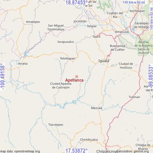
Apetlanca GPS coordinates[2]
18° 12' 28.476" North, 99° 47' 18.42" West
| Map corner | latitude | longitude |
|---|---|---|
| Upper-left | 18.87453°, | -100.49158° |
| Center: | 18.20791°, | -99.78845° |
| Lower-right: | 17.53872°, | -99.08533° |
| Map W x H: | 148.5×148.5 km | = 92.3×92.3mi |
| max Lat: | 32.7° ⇑76.1% North |
| Apetlanca: | 18.20791° |
| min Lat: | ⇓23.9% South 14.53588° |
| min Long | Apetlanca | max Long |
| -117.105° | -99.78845° | -86.73105° |
| W 38.7%⇐ | ⇒61.3% E |
Elevation
Elevation of Apetlanca is 1724 m = 5656 ft, and this is 470.3 m = 1543 ft above average elevation for this country.
| Max E: |
3497 m = 11473 ft | 40.1% |
| Apetlanca | 1724 m 5656 ft | |
| Avg. | 1253.7 m = 4113 ft | |
Min E: |
-1 m = -3 ft | 59.9% |
See also: Mexico elevation on elevation.city.
Geographical zone
Apetlanca is located in North Torrid zone (between Equator and Tropic of Cancer). Distance of this Northern Tropic circle is 581.4 km =361.3 mi to North.| Distance of | km | miles | from Apetlanca |
|---|---|---|---|
| North Pole | 7982.5 | 4960.1 | to North |
| Arctic Circle | 5376.6 | 3340.9 | to North |
| Tropic Cancer | 581.4 | 361.3 | to North |
| Equator | 2024.5 | 1258 | to South |


Nearby cities:
15 places around Apetlanca: (largest is in red/bold)
• Acatempan
15.8 km =9.8 mi,  320°
320°
• Ahuaxotitla
6.9 km =4.3 mi,  174°
174°
• Apango
12 km =7.5 mi,  75°
75°
• Apipilulco
12.4 km =7.7 mi,  98°
98°
• Atlixtac
12.1 km =7.5 mi,  93°
93°
• Chilacachapa
7.9 km =4.9 mi,  20°
20°
• Cocula
13.9 km =8.6 mi,  74°
74°
• Cuaxilotla
7.8 km =4.8 mi,  238°
238°
• Cuetzala del Progreso
9.3 km =5.8 mi,  209°
209°
• El Calvario
9.6 km =6 mi,  342°
342°
• Los Sauces
8.2 km =5.1 mi, 322°
• Oxtotitlán
15.3 km =9.5 mi,  262°
262°
• Tianquizolco
3.9 km =2.4 mi,  64°
64°
• Tlacaquipa
9 km =5.6 mi,  283°
283°
• Tlanipatlán
6.9 km =4.3 mi,  141°
141°
Sources, notices
• [Note1] Compared only with cities in Mexico existing in our database
• [Src1] Map data: © OpenStreetMap contributors (CC-BY-SA)
• [Src2] Other city data from geonames.org with taken over terms of usage.
• [Src3] Geographical zone / Annual Mean Temperature by Robert A. Rohde @ Wikipedia
