Ahuaxotitla geodata
Ahuaxotitla (Guerrero) is a populated place; located in Mexico in America/Mexico_City (GMT-6) time zone. With population of 530 people, there are 15970 cities with bigger population in this country. Compared to other cities in Mexico, 76.9% of cities are located further ↑North; 61.3% of cities are located further →East and 56.6% of cities have lower elevation than Ahuaxotitla. Note1


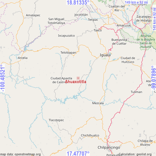
Ahuaxotitla GPS coordinates[2]
18° 8' 47.364" North, 99° 46' 55.488" West
| Map corner | latitude | longitude |
|---|---|---|
| Upper-left | 18.81335°, | -100.48521° |
| Center: | 18.14649°, | -99.78208° |
| Lower-right: | 17.47707°, | -99.07896° |
| Map W x H: | 148.6×148.6 km | = 92.3×92.3mi |
| max Lat: | 32.7° ⇑76.9% North |
| Ahuaxotitla: | 18.14649° |
| min Lat: | ⇓23.1% South 14.53588° |
| min Long | Ahuaxotitla | max Long |
| -117.105° | -99.78208° | -86.73105° |
| W 38.7%⇐ | ⇒61.3% E |
Elevation
Elevation of Ahuaxotitla is 1643 m = 5390 ft, and this is 389.3 m = 1277 ft above average elevation for this country.
| Max E: |
3497 m = 11473 ft | 43.4% |
| Ahuaxotitla | 1643 m 5390 ft | |
| Avg. | 1253.7 m = 4113 ft | |
Min E: |
-1 m = -3 ft | 56.6% |
See also: Mexico elevation on elevation.city.
Geographical zone
Ahuaxotitla is located in North Torrid zone (between Equator and Tropic of Cancer). Distance of this Northern Tropic circle is 588.2 km =365.5 mi to North.| Distance of | km | miles | from Ahuaxotitla |
|---|---|---|---|
| North Pole | 7989.4 | 4964.4 | to North |
| Arctic Circle | 5383.5 | 3345.2 | to North |
| Tropic Cancer | 588.2 | 365.5 | to North |
| Equator | 2017.7 | 1253.7 | to South |


Nearby cities:
15 places around Ahuaxotitla: (largest is in red/bold)
• Apango
14.7 km =9.1 mi,  47°
47°
• Apaxtla de Castrejón
16 km =9.9 mi,  263°
263°
• Apetlanca
6.9 km =4.3 mi,  354°
354°
• Apipilulco
12.6 km =7.8 mi,  66°
66°
• Atlixtac
12.9 km =8 mi,  61°
61°
• Chilacachapa
14.3 km =8.9 mi,  8°
8°
• Cocula
16.5 km =10.3 mi, 50°
• Cuaxilotla
7.8 km =4.8 mi,  290°
290°
• Cuetzala del Progreso
5.4 km =3.4 mi, 256°
• El Calvario
16.3 km =10.1 mi, 347°
• Los Sauces
14.5 km =9 mi,  337°
337°
• Nuevo Balsas
12.9 km =8 mi,  169°
169°
• Tianquizolco
9 km =5.6 mi,  18°
18°
• Tlacaquipa
13 km =8.1 mi,  313°
313°
• Tlanipatlán
3.9 km =2.4 mi, 68°
Sources, notices
• [Note1] Compared only with cities in Mexico existing in our database
• [Src1] Map data: © OpenStreetMap contributors (CC-BY-SA)
• [Src2] Other city data from geonames.org with taken over terms of usage.
• [Src3] Geographical zone / Annual Mean Temperature by Robert A. Rohde @ Wikipedia
