Isla geodata
Isla (Veracruz) is a seat of a second-order administrative division; located in Mexico in America/Mexico_City (GMT-6) time zone. With population of 26,287 people, there are 381 cities with bigger population in this country. Compared to other cities in Mexico, 78.3% of cities are located further ↑North; 83.1% of cities are located further ←West and 82.3% of cities have higher elevation than Isla. Note1


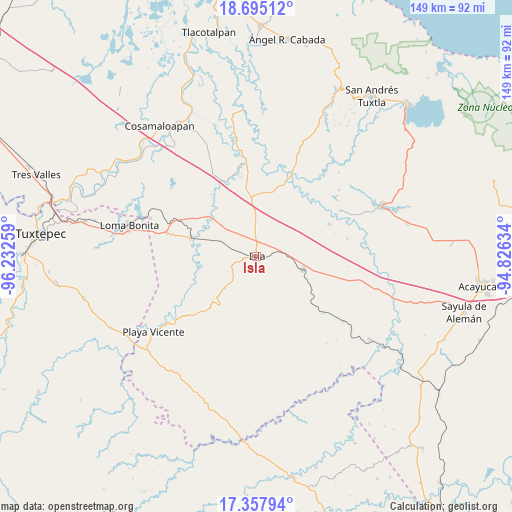
Isla GPS coordinates[2]
18° 1' 40.08" North, 95° 31' 46.056" West
| Map corner | latitude | longitude |
|---|---|---|
| Upper-left | 18.69512°, | -96.23259° |
| Center: | 18.0278°, | -95.52946° |
| Lower-right: | 17.35794°, | -94.82634° |
| Map W x H: | 148.7×148.7 km | = 92.4×92.4mi |
| max Lat: | 32.7° ⇑78.3% North |
| Isla: | 18.0278° |
| min Lat: | ⇓21.7% South 14.53588° |
| min Long | Isla | max Long |
| -117.105° | -95.52946° | -86.73105° |
| W 83.1%⇐ | ⇒16.9% E |
Elevation
Elevation of Isla is 67 m = 220 ft, and this is 1186.7 m = 3893 ft below average elevation for this country.
| Max E: |
3497 m = 11473 ft | 82.3% |
| Avg. | 1253.7 m = 4113 ft | |
| Isla | 67 m = 220 ft | |
Min E: |
-1 m = -3 ft | 17.7% |
See also: Mexico elevation on elevation.city.
Geographical zone
Isla is located in North Torrid zone (between Equator and Tropic of Cancer). Distance of this Northern Tropic circle is 601.4 km =373.7 mi to North.| Distance of | km | miles | from Isla |
|---|---|---|---|
| North Pole | 8002.6 | 4972.6 | to North |
| Arctic Circle | 5396.7 | 3353.4 | to North |
| Tropic Cancer | 601.4 | 373.7 | to North |
| Equator | 2004.5 | 1245.5 | to South |


Nearby cities:
15 places around Isla: (largest is in red/bold)
• Curazao
18.6 km =11.6 mi,  296°
296°
• El Maguey
18.8 km =11.7 mi,  285°
285°
• El Marcial
17 km =10.6 mi,  252°
252°
• El Paraíso
1.6 km =1 mi,  80°
80°
• El Tesoro
22.8 km =14.2 mi,  27°
27°
• Juan Rodríguez Clara
14.1 km =8.8 mi,  105°
105°
• La Unión
11 km =6.8 mi,  37°
37°
• Loma Alta
12.3 km =7.6 mi,  243°
243°
• Mazoco
9.8 km =6.1 mi, 295°
• Nopalapan
23 km =14.3 mi,  65°
65°
• Nuevo Potrero
11.9 km =7.4 mi,  315°
315°
• San Jerónimo
18.7 km =11.6 mi,  255°
255°
• Tesechoacan
18.3 km =11.4 mi,  311°
311°
• Totoloche
13.3 km =8.3 mi,  180°
180°
• Villa Azueta
20 km =12.4 mi,  284°
284°
Sources, notices
• [Note1] Compared only with cities in Mexico existing in our database
• [Src1] Map data: © OpenStreetMap contributors (CC-BY-SA)
• [Src2] Other city data from geonames.org with taken over terms of usage.
• [Src3] Geographical zone / Annual Mean Temperature by Robert A. Rohde @ Wikipedia
