Ocotes geodata
Ocotes (Jalisco) is a populated place; located in Mexico in America/Mexico_City (GMT-6) time zone. With population of 609 people, there are 14153 cities with bigger population in this country. Compared to other cities in Mexico, 66.1% of cities are located further ↓South; 91.7% of cities are located further →East and 56.2% of cities have higher elevation than Ocotes. Note1


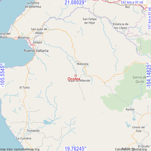
Ocotes GPS coordinates[2]
20° 25' 22.008" North, 104° 51' 4.932" West
| Map corner | latitude | longitude |
|---|---|---|
| Upper-left | 21.08029°, | -105.5545° |
| Center: | 20.42278°, | -104.85137° |
| Lower-right: | 19.76245°, | -104.14825° |
| Map W x H: | 146.5×146.5 km | = 91×91mi |
| max Lat: | 32.7° ⇑33.9% North |
| Ocotes: | 20.42278° |
| min Lat: | ⇓66.1% South 14.53588° |
| min Long | Ocotes | max Long |
| -117.105° | -104.85137° | -86.73105° |
| W 8.3%⇐ | ⇒91.7% E |
Elevation
Elevation of Ocotes is 1152 m = 3780 ft, and this is 101.7 m = 334 ft below average elevation for this country.
| Max E: |
3497 m = 11473 ft | 56.2% |
| Avg. | 1253.7 m = 4113 ft | |
| Ocotes | 1152 m = 3780 ft | |
Min E: |
-1 m = -3 ft | 43.8% |
See also: Mexico elevation on elevation.city.
Geographical zone
Ocotes is located in North Torrid zone (between Equator and Tropic of Cancer). Distance of this Northern Tropic circle is 335.1 km =208.2 mi to North.| Distance of | km | miles | from Ocotes |
|---|---|---|---|
| North Pole | 7736.3 | 4807.1 | to North |
| Arctic Circle | 5130.4 | 3187.9 | to North |
| Tropic Cancer | 335.1 | 208.2 | to North |
| Equator | 2270.8 | 1411 | to South |


Nearby cities:
15 places around Ocotes: (largest is in red/bold)
• Atenguillo
37.3 km =23.2 mi,  91°
91°
• Boca Mismaloya
46.9 km =29.1 mi,  284°
284°
• El Ranchito
46.4 km =28.8 mi,  318°
318°
• El Salto
38 km =23.6 mi,  105°
105°
• La Desembocada
46.5 km =28.9 mi, 317°
• La Laja
38.5 km =23.9 mi,  61°
61°
• Las Juntas y los Veranos
46.6 km =29 mi, 277°
• Llano Grande
43.1 km =26.8 mi,  183°
183°
• Los Volcanes
34.3 km =21.3 mi, 108°
• Mascota
13.3 km =8.3 mi,  29°
29°
• Mixtlán
46.2 km =28.7 mi, 87°
• Puerto Vallarta
45 km =28 mi,  298°
298°
• San Sebastián del Oeste
37.7 km =23.4 mi,  359°
359°
• Santiago de Pinos
42.7 km =26.5 mi,  2°
2°
• Talpa de Allende
5.6 km =3.5 mi,  146°
146°
Sources, notices
• [Note1] Compared only with cities in Mexico existing in our database
• [Src1] Map data: © OpenStreetMap contributors (CC-BY-SA)
• [Src2] Other city data from geonames.org with taken over terms of usage.
• [Src3] Geographical zone / Annual Mean Temperature by Robert A. Rohde @ Wikipedia
