Los Charcos geodata
Los Charcos (Michoacán) is a populated place; located in Mexico in America/Mexico_City (GMT-6) time zone. With population of 1,406 people, there are 6155 cities with bigger population in this country. Compared to other cities in Mexico, 62.8% of cities are located further ↓South; 83.5% of cities are located further →East and 53.1% of cities have lower elevation than Los Charcos. Note1


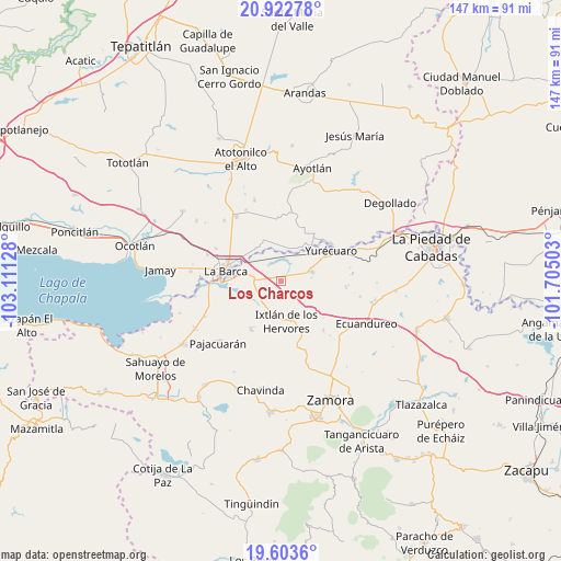
Los Charcos GPS coordinates[2]
20° 15' 52.524" North, 102° 24' 29.34" West
| Map corner | latitude | longitude |
|---|---|---|
| Upper-left | 20.92278°, | -103.11128° |
| Center: | 20.26459°, | -102.40815° |
| Lower-right: | 19.6036°, | -101.70503° |
| Map W x H: | 146.7×146.7 km | = 91.2×91.2mi |
| max Lat: | 32.7° ⇑37.2% North |
| Los Charcos: | 20.26459° |
| min Lat: | ⇓62.8% South 14.53588° |
| min Long | Los Charcos | max Long |
| -117.105° | -102.40815° | -86.73105° |
| W 16.5%⇐ | ⇒83.5% E |
Elevation
Elevation of Los Charcos is 1543 m = 5062 ft, and this is 289.3 m = 949 ft above average elevation for this country.
| Max E: |
3497 m = 11473 ft | 46.9% |
| Los Charcos | 1543 m 5062 ft | |
| Avg. | 1253.7 m = 4113 ft | |
Min E: |
-1 m = -3 ft | 53.1% |
See also: Mexico elevation on elevation.city.
Geographical zone
Los Charcos is located in North Torrid zone (between Equator and Tropic of Cancer). Distance of this Northern Tropic circle is 352.7 km =219.2 mi to North.| Distance of | km | miles | from Los Charcos |
|---|---|---|---|
| North Pole | 7753.9 | 4818 | to North |
| Arctic Circle | 5148 | 3198.8 | to North |
| Tropic Cancer | 352.7 | 219.2 | to North |
| Equator | 2253.2 | 1400.1 | to South |


Nearby cities:
15 places around Los Charcos: (largest is in red/bold)
• Camucuato
10.3 km =6.4 mi,  192°
192°
• El Alvareño
5 km =3.1 mi,  322°
322°
• El Capulín
9.5 km =5.9 mi,  244°
244°
• El Cuenqueño
8.7 km =5.4 mi, 323°
• El Loreto Occidental
10.8 km =6.7 mi, 322°
• Guadalupe de Lerma
9.8 km =6.1 mi,  30°
30°
• Ixtlán de los Hervores
10.7 km =6.6 mi,  172°
172°
• La Angostura
8.4 km =5.2 mi,  204°
204°
• Los Pilares
7.7 km =4.8 mi, 28°
• San Antonio de Rivas
9.7 km =6 mi,  347°
347°
• San Ramón
11.2 km =7 mi,  333°
333°
• Tanhuato de Guerrero
8.4 km =5.2 mi,  73°
73°
• Tarimoro
8.1 km =5 mi,  110°
110°
• Villanueva (Villa Nueva)
8.4 km =5.2 mi,  39°
39°
• Vista Hermosa de Negrete
7 km =4.3 mi,  276°
276°
Sources, notices
• [Note1] Compared only with cities in Mexico existing in our database
• [Src1] Map data: © OpenStreetMap contributors (CC-BY-SA)
• [Src2] Other city data from geonames.org with taken over terms of usage.
• [Src3] Geographical zone / Annual Mean Temperature by Robert A. Rohde @ Wikipedia
