San Rafael geodata
San Rafael (Guanajuato) is a populated place; located in Mexico in America/Mexico_City (GMT-6) time zone. With population of 702 people, there are 12396 cities with bigger population in this country. Compared to other cities in Mexico, 78.3% of cities are located further ↓South; 68% of cities are located further →East and 77.7% of cities have lower elevation than San Rafael. Note1


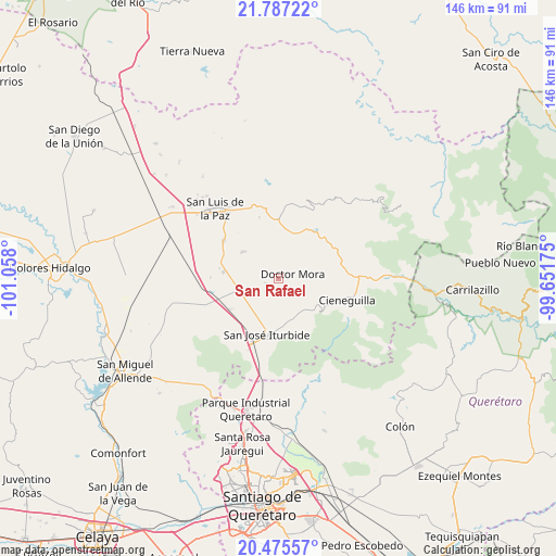
San Rafael GPS coordinates[2]
21° 7' 58.26" North, 100° 21' 17.532" West
| Map corner | latitude | longitude |
|---|---|---|
| Upper-left | 21.78722°, | -101.058° |
| Center: | 21.13285°, | -100.35487° |
| Lower-right: | 20.47557°, | -99.65175° |
| Map W x H: | 145.8×145.8 km | = 90.6×90.6mi |
| max Lat: | 32.7° ⇑21.7% North |
| San Rafael: | 21.13285° |
| min Lat: | ⇓78.3% South 14.53588° |
| min Long | San Rafael | max Long |
| -117.105° | -100.35487° | -86.73105° |
| W 32%⇐ | ⇒68% E |
Elevation
Elevation of San Rafael is 2081 m = 6827 ft, and this is 827.3 m = 2714 ft above average elevation for this country.
| Max E: |
3497 m = 11473 ft | 22.3% |
| San Rafael | 2081 m 6827 ft | |
| Avg. | 1253.7 m = 4113 ft | |
Min E: |
-1 m = -3 ft | 77.7% |
See also: Mexico elevation on elevation.city.
Geographical zone
San Rafael is located in North Torrid zone (between Equator and Tropic of Cancer). Distance of this Northern Tropic circle is 256.2 km =159.2 mi to North.| Distance of | km | miles | from San Rafael |
|---|---|---|---|
| North Pole | 7657.3 | 4758 | to North |
| Arctic Circle | 5051.4 | 3138.8 | to North |
| Tropic Cancer | 256.2 | 159.2 | to North |
| Equator | 2349.8 | 1460.1 | to South |


Nearby cities:
15 places around San Rafael: (largest is in red/bold)
• Derramadero de Charcas
5.5 km =3.4 mi,  118°
118°
• Doctor Mora
3.8 km =2.4 mi,  73°
73°
• El Capulín
10.8 km =6.7 mi,  161°
161°
• La Ciénega
10.6 km =6.6 mi, 164°
• La Laguna
11 km =6.8 mi,  261°
261°
• La Noria
3.4 km =2.1 mi,  243°
243°
• La Redonda
6.9 km =4.3 mi,  145°
145°
• La Reforma
9.7 km =6 mi,  202°
202°
• La Yerbabuena
11.1 km =6.9 mi,  178°
178°
• Las Adjuntas
10.1 km =6.3 mi,  217°
217°
• Loma de Buenavista
5.2 km =3.2 mi,  9°
9°
• Miranda
6.5 km =4 mi, 158°
• Morisquilla
4.6 km =2.9 mi,  171°
171°
• Pueblo Nuevo
6.6 km =4.1 mi, 235°
• Vagui
3.6 km =2.2 mi,  23°
23°
Sources, notices
• [Note1] Compared only with cities in Mexico existing in our database
• [Src1] Map data: © OpenStreetMap contributors (CC-BY-SA)
• [Src2] Other city data from geonames.org with taken over terms of usage.
• [Src3] Geographical zone / Annual Mean Temperature by Robert A. Rohde @ Wikipedia
