Ururuta geodata
Ururuta (State of Mexico) is a populated place; located in Mexico in America/Mexico_City (GMT-6) time zone. With population of 732 people, there are 11935 cities with bigger population in this country. Compared to other cities in Mexico, 57.9% of cities are located further ↓South; 78.2% of cities are located further →East and 70.6% of cities have lower elevation than Ururuta. Note1


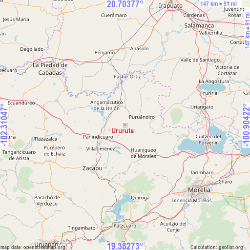
Ururuta GPS coordinates[2]
20° 2' 40.704" North, 101° 36' 26.424" West
| Map corner | latitude | longitude |
|---|---|---|
| Upper-left | 20.70377°, | -102.31047° |
| Center: | 20.04464°, | -101.60734° |
| Lower-right: | 19.38273°, | -100.90422° |
| Map W x H: | 146.9×146.9 km | = 91.3×91.3mi |
| max Lat: | 32.7° ⇑42.1% North |
| Ururuta: | 20.04464° |
| min Lat: | ⇓57.9% South 14.53588° |
| min Long | Ururuta | max Long |
| -117.105° | -101.60734° | -86.73105° |
| W 21.8%⇐ | ⇒78.2% E |
Elevation
Elevation of Ururuta is 1937 m = 6355 ft, and this is 683.3 m = 2242 ft above average elevation for this country.
| Max E: |
3497 m = 11473 ft | 29.4% |
| Ururuta | 1937 m 6355 ft | |
| Avg. | 1253.7 m = 4113 ft | |
Min E: |
-1 m = -3 ft | 70.6% |
See also: Mexico elevation on elevation.city.
Geographical zone
Ururuta is located in North Torrid zone (between Equator and Tropic of Cancer). Distance of this Northern Tropic circle is 377.2 km =234.4 mi to North.| Distance of | km | miles | from Ururuta |
|---|---|---|---|
| North Pole | 7778.3 | 4833.2 | to North |
| Arctic Circle | 5172.4 | 3214 | to North |
| Tropic Cancer | 377.2 | 234.4 | to North |
| Equator | 2228.8 | 1384.9 | to South |


Nearby cities:
15 places around Ururuta: (largest is in red/bold)
• Agua Caliente
13.5 km =8.4 mi,  279°
279°
• Batuecas
13.5 km =8.4 mi,  91°
91°
• Curimeo
9.6 km =6 mi,  253°
253°
• El Maluco
13.2 km =8.2 mi,  327°
327°
• Galeana
3.9 km =2.4 mi,  104°
104°
• Janamuato
6.5 km =4 mi,  20°
20°
• La Estancia del Río
11 km =6.8 mi, 284°
• La Luz
8.7 km =5.4 mi,  214°
214°
• Nuevo Progreso (Casas Viejas)
4.6 km =2.9 mi, 275°
• Puruándiro
10.8 km =6.7 mi,  62°
62°
• Sabino Buenavista
4.1 km =2.5 mi,  28°
28°
• San Lorenzo
7.4 km =4.6 mi, 213°
• San Miguel
4 km =2.5 mi,  262°
262°
• Urequío
11.3 km =7 mi,  228°
228°
• Villachuato
11.9 km =7.4 mi,  346°
346°
Sources, notices
• [Note1] Compared only with cities in Mexico existing in our database
• [Src1] Map data: © OpenStreetMap contributors (CC-BY-SA)
• [Src2] Other city data from geonames.org with taken over terms of usage.
• [Src3] Geographical zone / Annual Mean Temperature by Robert A. Rohde @ Wikipedia
