Ranau geodata
Ranau (Sabah) is a populated place; located in Malaysia in Asia/Kuching (GMT+8) time zone. With population of 19,294 people, there are 123 cities with bigger population in this country. Compared to other cities in Malaysia, 86.5% of cities are located further ↓South; 96.6% of cities are located further ←West and 98.3% of cities have lower elevation than Ranau. Note1


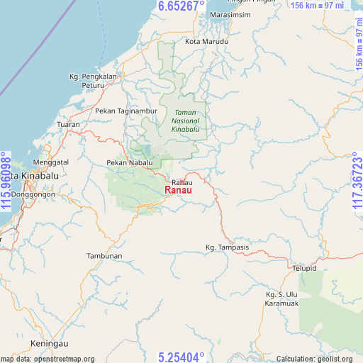
Ranau GPS coordinates[2]
5° 57' 13.68" North, 116° 39' 50.76" East
| Map corner | latitude | longitude |
|---|---|---|
| Upper-left | 6.65267°, | 115.96098° |
| Center: | 5.9538°, | 116.6641° |
| Lower-right: | 5.25404°, | 117.36723° |
| Map W x H: | 155.5×155.5 km | = 96.6×96.6mi |
| max Lat: | 6.88732° ⇑13.5% North |
| Ranau: | 5.9538° |
| min Lat: | ⇓86.5% South 1.24722° |
| min Long | Ranau | max Long |
| 99.68252° | 116.6641° | 118.61119° |
| W 96.6%⇐ | ⇒3.4% E |
Elevation
Elevation of Ranau is 570 m = 1870 ft, and this is 525.3 m = 1723 ft above average elevation for this country.
| Max E: |
1488 m = 4882 ft | 1.7% |
| Ranau | 570 m 1870 ft | |
| Avg. | 44.7 m = 147 ft | |
Min E: |
0 m = 0 ft | 98.3% |
See also: Malaysia elevation on elevation.city.
Geographical zone
Ranau is located in North Torrid zone (between Equator and Tropic of Cancer). Distance of Equator is 662 km =411.3 mi to South.| Distance of | km | miles | from Ranau |
|---|---|---|---|
| North Pole | 9345.1 | 5806.8 | to North |
| Arctic Circle | 6739.2 | 4187.5 | to North |
| Tropic Cancer | 1943.9 | 1207.9 | to North |
| Equator | 662 | 411.3 | to South |


Nearby cities:
15 places around Ranau: (largest is in red/bold)
• Bandar Labuan
171.1 km =106.3 mi,  244°
244°
• Beaufort
122 km =75.8 mi, 236°
• Donggongon
62.4 km =38.8 mi,  265°
265°
• Keningau
88.3 km =54.9 mi,  219°
219°
• Kg Ramayah
63.6 km =39.5 mi,  263°
263°
• Kinarut
69.8 km =43.4 mi, 257°
• Kota Belud
51.2 km =31.8 mi,  329°
329°
• Kota Kinabalu
65.5 km =40.7 mi, 272°
• Kudat
105.3 km =65.4 mi,  9°
9°
• Labuan
173.7 km =107.9 mi, 244°
• Lawas
184.6 km =114.7 mi,  228°
228°
• Papar
84.5 km =52.5 mi,  253°
253°
• Putatan
66.8 km =41.5 mi, 267°
• Sandakan
161.3 km =100.2 mi,  94°
94°
• Taman Rajawali
152.9 km =95 mi, 92°
Sources, notices
• [Note1] Compared only with cities in Malaysia existing in our database
• [Src1] Map data: © OpenStreetMap contributors (CC-BY-SA)
• [Src2] Other city data from geonames.org with taken over terms of usage.
• [Src3] Geographical zone / Annual Mean Temperature by Robert A. Rohde @ Wikipedia
