Keningau geodata
Keningau (Sabah) is a populated place; located in Malaysia in Asia/Kuching (GMT+8) time zone. With population of 77,650 people, there are 43 cities with bigger population in this country. Compared to other cities in Malaysia, 69.7% of cities are located further ↓South; 95.5% of cities are located further ←West and 97.2% of cities have lower elevation than Keningau. Note1


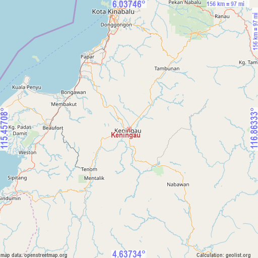
Keningau GPS coordinates[2]
5° 20' 16.08" North, 116° 9' 36.72" East
| Map corner | latitude | longitude |
|---|---|---|
| Upper-left | 6.03746°, | 115.45708° |
| Center: | 5.3378°, | 116.1602° |
| Lower-right: | 4.63734°, | 116.86333° |
| Map W x H: | 155.7×155.7 km | = 96.7×96.7mi |
| max Lat: | 6.88732° ⇑30.3% North |
| Keningau: | 5.3378° |
| min Lat: | ⇓69.7% South 1.24722° |
| min Long | Keningau | max Long |
| 99.68252° | 116.1602° | 118.61119° |
| W 95.5%⇐ | ⇒4.5% E |
Elevation
Elevation of Keningau is 277 m = 909 ft, and this is 232.3 m = 762 ft above average elevation for this country.
| Max E: |
1488 m = 4882 ft | 2.8% |
| Keningau | 277 m 909 ft | |
| Avg. | 44.7 m = 147 ft | |
Min E: |
0 m = 0 ft | 97.2% |
See also: Keningau elevation on elevation.city.
Geographical zone
Keningau is located in North Torrid zone (between Equator and Tropic of Cancer). Distance of Equator is 593.5 km =368.8 mi to South.| Distance of | km | miles | from Keningau |
|---|---|---|---|
| North Pole | 9413.6 | 5849.3 | to North |
| Arctic Circle | 6807.7 | 4230.1 | to North |
| Tropic Cancer | 2012.4 | 1250.4 | to North |
| Equator | 593.5 | 368.8 | to South |


Nearby cities:
15 places around Keningau: (largest is in red/bold)
• Bandar Labuan
98.8 km =61.4 mi,  266°
266°
• Beaufort
45.9 km =28.5 mi, 271°
• Donggongon
63.6 km =39.5 mi,  354°
354°
• Kg Ramayah
61.2 km =38 mi, 353°
• Kinarut
55.4 km =34.4 mi, 346°
• Kota Belud
116.6 km =72.5 mi,  14°
14°
• Kota Kinabalu
71.5 km =44.4 mi, 352°
• Kudat
187.3 km =116.4 mi,  23°
23°
• Labuan
101.2 km =62.9 mi, 266°
• Lawas
98.7 km =61.3 mi,  237°
237°
• Limbang
144.2 km =89.6 mi, 243°
• Papar
50.6 km =31.4 mi,  330°
330°
• Putatan
66.3 km =41.2 mi, 350°
• Ranau
88.3 km =54.9 mi,  39°
39°
• Taman Rajawali
217.6 km =135.2 mi,  73°
73°
Sources, notices
• [Note1] Compared only with cities in Malaysia existing in our database
• [Src1] Map data: © OpenStreetMap contributors (CC-BY-SA)
• [Src2] Other city data from geonames.org with taken over terms of usage.
• [Src3] Geographical zone / Annual Mean Temperature by Robert A. Rohde @ Wikipedia
