Hienghène geodata
Hienghène (North Province) is a populated place; located in New Caledonia in Pacific/Noumea (GMT+11) time zone. With population of 2,668 people, there are 16 cities with bigger population in this country. Compared to other cities in New Caledonia, 76.7% of cities are located further ↓South; 70% of cities are located further →East and 90% of cities have lower elevation than Hienghène. Note1


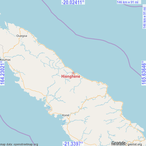
Hienghène GPS coordinates[2]
20° 40' 59.988" South, 164° 55' 59.988" East
| Map corner | latitude | longitude |
|---|---|---|
| Upper-left | -20.02411°, | 164.23021° |
| Center: | -20.68333°, | 164.93333° |
| Lower-right: | -21.3397°, | 165.63646° |
| Map W x H: | 146.3×146.3 km | = 90.9×90.9mi |
| max Lat: | -19.71161° ⇑23.3% North |
| Hienghène: | -20.68333° |
| min Lat: | ⇓76.7% South -22.66645° |
| min Long | Hienghène | max Long |
| 163.64702° | 164.93333° | 167.88019° |
| W 30%⇐ | ⇒70% E |
Elevation
Elevation of Hienghène is 121 m = 397 ft, and this is 77.7 m = 255 ft above average elevation for this country.
| Max E: |
275 m = 902 ft | 10% |
| Hienghène | 121 m 397 ft | |
| Avg. | 43.3 m = 142 ft | |
Min E: |
1 m = 3 ft | 90% |
See also: New Caledonia elevation on elevation.city.
Geographical zone
Hienghène is located in South Torrid zone (between Equator and Tropic of Capricorn). Distance of this Southern Tropic circle is 306.1 km =190.2 mi to South.| Distance of | km | miles | from Hienghène |
|---|---|---|---|
| Equator | 2299.8 | 1429 | to North |
| Tropic Capricorn | 306.1 | 190.2 | to South |
| Antarctic Circle | 5101.4 | 3169.9 | to South |
| South Pole | 7707.3 | 4789.1 | to South |


Nearby cities:
15 places around Hienghène: (largest is in red/bold)
• Bourail
114.3 km =71 mi,  149°
149°
• Houaïlou
97.4 km =60.5 mi,  133°
133°
• Kaala-Gomén
55.5 km =34.5 mi,  271°
271°
• Koné
42.4 km =26.3 mi,  189°
189°
• Koumac
68.9 km =42.8 mi,  280°
280°
• Moindou
137.2 km =85.3 mi, 145°
• Ouégoa
63.9 km =39.7 mi,  305°
305°
• Poindimié
50 km =31.1 mi,  123°
123°
• Ponérihouen
65.8 km =40.9 mi, 132°
• Pouembout
50.2 km =31.2 mi,  183°
183°
• Poum
107.8 km =67 mi,  297°
297°
• Pouébo
49.5 km =30.8 mi, 309°
• Poya
77.5 km =48.2 mi,  163°
163°
• Touho
35 km =21.7 mi,  109°
109°
• Voh
39.8 km =24.7 mi,  217°
217°
Sources, notices
• [Note1] Compared only with cities in New Caledonia existing in our database
• [Src1] Map data: © OpenStreetMap contributors (CC-BY-SA)
• [Src2] Other city data from geonames.org with taken over terms of usage.
• [Src3] Geographical zone / Annual Mean Temperature by Robert A. Rohde @ Wikipedia
