Tanout geodata
Tanout (Zinder) is a seat of a second-order administrative division; located in Niger in Africa/Niamey (GMT+1) time zone. With population of 15,204 people, there are 24 cities with bigger population in this country. Compared to other cities in Niger, 83.7% of cities are located further ↓South; 81.4% of cities are located further ←West and 100% of cities have lower elevation than Tanout. Note1


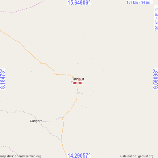
Tanout GPS coordinates[2]
14° 58' 15.204" North, 8° 53' 16.296" East
| Map corner | latitude | longitude |
|---|---|---|
| Upper-left | 15.64906°, | 8.18473° |
| Center: | 14.97089°, | 8.88786° |
| Lower-right: | 14.29057°, | 9.59098° |
| Map W x H: | 151×151.1 km | = 93.8×93.9mi |
| max Lat: | 18.73694° ⇑16.3% North |
| Tanout: | 14.97089° |
| min Lat: | ⇓83.7% South 11.88435° |
| min Long | Tanout | max Long |
| 0.75306° | 8.88786° | 13.10921° |
| W 81.4%⇐ | ⇒18.6% E |
Elevation
Elevation of Tanout is 525 m = 1722 ft, and this is 182.2 m = 598 ft above average elevation for this country.
| Max E: |
525 m = 1722 ft | 0% |
| Tanout | 525 m 1722 ft | |
| Avg. | 342.8 m = 1125 ft | |
Min E: |
177 m = 581 ft | 100% |
See also: Niger elevation on elevation.city.
Geographical zone
Tanout is located in North Torrid zone (between Equator and Tropic of Cancer). Distance of this Northern Tropic circle is 941.3 km =584.9 mi to North.| Distance of | km | miles | from Tanout |
|---|---|---|---|
| North Pole | 8342.5 | 5183.8 | to North |
| Arctic Circle | 5736.6 | 3564.6 | to North |
| Tropic Cancer | 941.3 | 584.9 | to North |
| Equator | 1664.6 | 1034.3 | to South |


Nearby cities:
15 places around Tanout: (largest is in red/bold)
• Agadez
242.4 km =150.6 mi,  336°
336°
• Aguié
202 km =125.5 mi,  216°
216°
• Alaghsas
246 km =152.9 mi, 337°
• Dakoro
233.9 km =145.3 mi,  257°
257°
• Gouré
184.9 km =114.9 mi,  126°
126°
• Kantché
165.6 km =102.9 mi,  196°
196°
• Madarounfa
262.7 km =163.2 mi,  225°
225°
• Magaria
219.3 km =136.3 mi,  179°
179°
• Maradi
252.6 km =157 mi, 229°
• Matamey
177.8 km =110.5 mi,  194°
194°
• Mayahi
172.9 km =107.4 mi, 229°
• Mirriah
143.3 km =89 mi,  168°
168°
• Tessaoua
166.2 km =103.3 mi, 215°
• Tibiri
252.6 km =157 mi, 231°
• Zinder
129.8 km =80.7 mi, 175°
Sources, notices
• [Note1] Compared only with cities in Niger existing in our database
• [Src1] Map data: © OpenStreetMap contributors (CC-BY-SA)
• [Src2] Other city data from geonames.org with taken over terms of usage.
• [Src3] Geographical zone / Annual Mean Temperature by Robert A. Rohde @ Wikipedia
