Suya geodata
Suya (Kwara) is a populated place; located in Nigeria in Africa/Lagos (GMT+1) time zone. With population of 7,936 people, there are 385 cities with bigger population in this country. Compared to other cities in Nigeria, 59.4% of cities are located further ↓South; 99.1% of cities are located further →East and 76.1% of cities have lower elevation than Suya. Note1


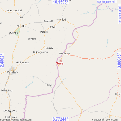
Suya GPS coordinates[2]
9° 28' 0.012" North, 3° 10' 59.988" East
| Map corner | latitude | longitude |
|---|---|---|
| Upper-left | 10.1595°, | 2.4802° |
| Center: | 9.46667°, | 3.18333° |
| Lower-right: | 8.77244°, | 3.88645° |
| Map W x H: | 154.2×154.2 km | = 95.8×95.8mi |
| max Lat: | 13.7543° ⇑40.6% North |
| Suya: | 9.46667° |
| min Lat: | ⇓59.4% South 4.31231° |
| min Long | Suya | max Long |
| 2.73333° | 3.18333° | 14.46552° |
| W 0.9%⇐ | ⇒99.1% E |
Elevation
Elevation of Suya is 439 m = 1440 ft, and this is 142.5 m = 468 ft above average elevation for this country.
| Max E: |
1599 m = 5246 ft | 23.9% |
| Suya | 439 m 1440 ft | |
| Avg. | 296.5 m = 973 ft | |
Min E: |
2 m = 7 ft | 76.1% |
See also: Nigeria elevation on elevation.city.
Geographical zone
Suya is located in North Torrid zone (between Equator and Tropic of Cancer). Distance of Equator is 1052.6 km =654.1 mi to South.| Distance of | km | miles | from Suya |
|---|---|---|---|
| North Pole | 8954.5 | 5564.1 | to North |
| Arctic Circle | 6348.6 | 3944.8 | to North |
| Tropic Cancer | 1553.3 | 965.2 | to North |
| Equator | 1052.6 | 654.1 | to South |


Nearby cities:
15 places around Suya: (largest is in red/bold)
• Ago Are
110.5 km =68.7 mi,  166°
166°
• Ago-Amodu
105 km =65.2 mi,  153°
153°
• Babana
127.5 km =79.2 mi,  32°
32°
• Gwasero
34.8 km =21.6 mi,  86°
86°
• Igbeti
131.1 km =81.5 mi,  127°
127°
• Igboho
94 km =58.4 mi,  138°
138°
• Kaiama
84.5 km =52.5 mi,  79°
79°
• Kisi
84.9 km =52.8 mi,  120°
120°
• Kosubosu
10.6 km =6.6 mi, 27°
• Okuta
27.8 km =17.3 mi,  180°
180°
• Otu
142.3 km =88.4 mi, 170°
• Saki
91.8 km =57 mi, 165°
• Tede
105.3 km =65.4 mi,  164°
164°
• Wawa
143.9 km =89.4 mi,  70°
70°
• Yashikera
40.9 km =25.4 mi,  35°
35°
Sources, notices
• [Note1] Compared only with cities in Nigeria existing in our database
• [Src1] Map data: © OpenStreetMap contributors (CC-BY-SA)
• [Src2] Other city data from geonames.org with taken over terms of usage.
• [Src3] Geographical zone / Annual Mean Temperature by Robert A. Rohde @ Wikipedia
